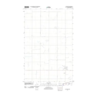
2011 Map of Flaxton
USGS Topo · Published 2011About this map
Flaxton sits at the junction of local transit and agricultural commerce in this Burke County landscape. The town's grid is oriented by the diagonal path of NW Railway St and SE Railway St, reflecting the historical importance of rail access in North Dakota's grain-growing regions. This 2011 survey captures the area’s rural character, where the vast prairie is partitioned by a precise network of section-line roads, including 81st Ave NW and 109th St NW. To the southeast, the terrain softens around the drainage of Stony Creek. Genealogists and local historians can locate the Flaxton Cemetery south of the main settlement along County Rd 13. The map documents a quiet, structured landscape defined by its agricultural foundations and the enduring layout of its central community.
Find a feature on this map
18 named features on this map. Tap any name to fly to it.
Don’t see what you’re looking for? This feature index may not catch every label — zoom into the map to look around manually.
Map Details
Editions of this 2011 Flaxton Map
This is the sole edition of this map. No revisions or reprints were ever made.
Other maps of this area

1947 · Flaxton
USGS Topo · 1:24,000

1948 · Flaxton
USGS Topo · 1:24,000

1948 · Coteau
USGS Topo · 1:24,000

1948 · Woburn
USGS Topo · 1:24,000

1949 · Rennie Lake
USGS Topo · 1:24,000

1949 · Portal
USGS Topo · 1:24,000
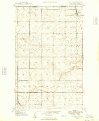
1949 · Northgate
USGS Topo · 1:24,000

1950 · Flaxton
USGS Topo · 1:62,500

1950 · Portal
USGS Topo · 1:62,500

1953 · Williston
USGS Topo · 1:250,000