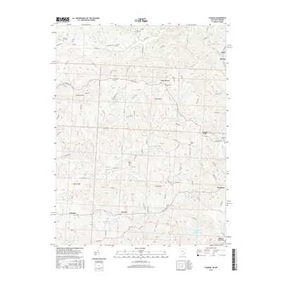
2016 Map of Fleming
USGS Topo · Published 2016About this map
Churchtown and Locust Fork anchor this rural Washington County landscape, which transitions from the highlands down to the prominent river valleys. The terrain is marked by a high density of family and community burial sites, including the Saint John Cem, Warren Chapel Cem, and Brabham Cem, providing a clear map for genealogical research. To the south, the village of Fleming sits near the headwaters of the E Br Little Hocking River, while the eastern edge follows the winding course of the Muskingum River through Devola. Industrial and recreational features like the Union Carbide Waste Retention Pond and Goodfellows Park Lake reflect the varied land use of the early 21st century. The map also traces the confluence of the Muskingum and the Ohio River at Moore Junction, a key navigational point for the region.
Find a feature on this map
140 named features on this map. Tap any name to fly to it.
Don’t see what you’re looking for? This feature index may not catch every label — zoom into the map to look around manually.
Map Details
Editions of this 2016 Fleming Map
This is the sole edition of this map. No revisions or reprints were ever made.
Other maps of this area

1902 · Parkersburg
USGS Topo · 1:62,500

1903 · Macksburg
USGS Topo · 1:62,500

1904 · Parkersburg
USGS Topo · 1:62,500

1904 · Marietta
USGS Topo · 1:62,500

1905 · Macksburg
USGS Topo · 1:62,500

1909 · Caldwell
USGS Topo · 1:62,500

1912 · Caldwell
USGS Topo · 1:62,500

1924 · Marietta
USGS Topo · 1:62,500

1927 · Marietta
USGS Topo · 1:62,500

1949 · Clarksburg
USGS Topo · 1:250,000