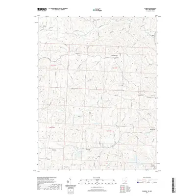
2019 Map of Fleming
USGS Topo · Published 2019About this map
Churchtown and Locust Fork anchor this rural landscape in Washington County, characterized by a dense network of creek valleys and ridges. The terrain is defined by waterways like Rainbow Cr and the E Br Little Hocking River, which carve through the countryside north of Moore Junction. Genealogists will find a significant concentration of burial sites, including the Saint John Cem, Warren Chapel Cem, and Evangelical Cem, often located near crossroads and small settlements like Fleming and McAvan.
Find a feature on this map
104 named features on this map. Tap any name to fly to it.
Don’t see what you’re looking for? This feature index may not catch every label — zoom into the map to look around manually.
Map Details
Editions of this 2019 Fleming Map
This is the sole edition of this map. No revisions or reprints were ever made.
Other maps of this area

1902 · Parkersburg
USGS Topo · 1:62,500

1903 · Macksburg
USGS Topo · 1:62,500

1904 · Parkersburg
USGS Topo · 1:62,500

1904 · Marietta
USGS Topo · 1:62,500

1905 · Macksburg
USGS Topo · 1:62,500

1909 · Caldwell
USGS Topo · 1:62,500

1912 · Caldwell
USGS Topo · 1:62,500

1924 · Marietta
USGS Topo · 1:62,500

1927 · Marietta
USGS Topo · 1:62,500

1949 · Clarksburg
USGS Topo · 1:250,000