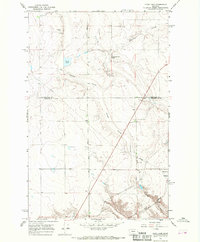
1965 Map of Flick Lake
USGS Topo · Published 1968About this map
Huntley Coulee and Portage Coulee carve through this high-plains landscape where the Chouteau Co Cascade Co border bisects the terrain. The map captures the agricultural and industrial layout of the mid-1960s, anchored by the Great Northern railroad line and the small settlement of Portage. This area is defined by its water sources and infrastructure, featuring Twenty-eight Mile Spring, Flick Lake, and an extensive Pipeline network. Rural life and education are centered at the Roosevelt Sch, while local industry is evidenced by numerous Gravel Pits and the remote Whitehorn siding. The presence of Dent Bridge Road provides a primary north-south artery for this ranching and transport corridor, illustrating how mid-century infrastructure adapted to the natural drainage patterns of the Great Northern Coulee system.
Find a feature on this map
16 named features on this map. Tap any name to fly to it.
Don’t see what you’re looking for? This feature index may not catch every label — zoom into the map to look around manually.
Map Details
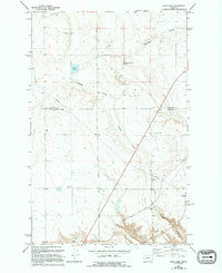
Editions of this 1965 Flick Lake Map
2 editions found
Other maps of this area

1886 · Great Falls
USGS Topo · 1:250,000

1948 · Portage
USGS Topo · 1:62,500

1949 · Portage
USGS Topo · 1:62,500

1949 · Timber Coulee
USGS Topo · 1:62,500

1949 · Great Falls
USGS Topo · 1:62,500

1950 · Timber Coulee
USGS Topo · 1:62,500

1950 · Dent Bridge
USGS Topo · 1:62,500

1951 · Great Falls
USGS Topo · 1:62,500

1954 · Great Falls
USGS Topo · 1:250,000

1957 · Great Falls
USGS Topo · 1:250,000