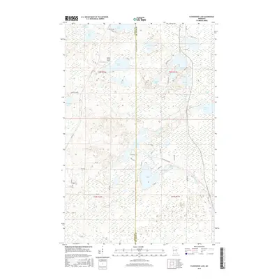
2016 Map of Floodwood Lake
USGS Topo · Published 2016About this map
Floodwood Lake and the meandering Floodwood River anchor this landscape along the border of Itasca and Saint Louis counties. The area is defined by its complex network of water bodies and wetlands, including the expansive Toivola Swamp in the northeast and smaller basins like Thunderbird Lake, Beauty Lake, and Cropless Lake. Human presence is marked by scattered infrastructure such as the Gospel Ranch Airport and the Maple Grove Cem in the southwest corner. The road network, including the St Louis-Itasca Judicial Hwy and numerous county roads like Co Hwy 16, traces the section lines of the Public Land Survey System, illustrating how modern transportation follows the original township grid of the Northwoods.
Find a feature on this map
55 named features on this map. Tap any name to fly to it.
Don’t see what you’re looking for? This feature index may not catch every label — zoom into the map to look around manually.
Map Details
Editions of this 2016 Floodwood Lake Map
This is the sole edition of this map. No revisions or reprints were ever made.
Other maps of this area

1952 · Riley
USGS Topo · 1:24,000

1952 · Silica
USGS Topo · 1:24,000

1952 · Pengilly
USGS Topo · 1:24,000

1954 · Hibbing
USGS Topo · 1:250,000

1957 · Hibbing
USGS Topo · 1:250,000

1958 · Hibbing
USGS Topo · 1:250,000

1963 · Toivola SW
USGS Topo · 1:24,000

1963 · Upstead Lake
USGS Topo · 1:24,000

1964 · Hibbing
USGS Topo · 1:250,000

1969 · Wawina
USGS Topo · 1:24,000