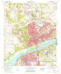
1971 Map of Florence
USGS Topo · Published 1977About this map
Florence and Sheffield dominate this Tennessee River corridor during a period of significant industrial and educational growth. The river landscape is defined by the massive Wilson Dam and the sprawling Muscle Shoals Reservation, which includes the National Fertilizer Development Center. This era shows the urban expansion of neighborhoods like Sherwood Forest and Hickory Hills alongside established institutions such as Florence State College and the Eliza Coffee Memorial Hospital. The transportation network is a complex mix of historical routes and modern infrastructure, featuring the Natchez Trace Parkway to the west and the active tracks of the L & N RR and Southern Railway. Beyond the city limits, smaller communities like Petersville and Mars Hill maintain their own identities with local landmarks like the Mars Hill Bible School and numerous family cemeteries.
Find a feature on this map
92 named features on this map. Tap any name to fly to it.
Don’t see what you’re looking for? This feature index may not catch every label — zoom into the map to look around manually.
Map Details
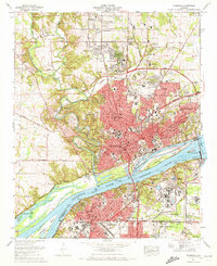
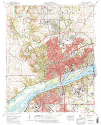
Editions of this 1971 Florence Map
3 editions found
Other maps of this area

1914 · Muscle Shoals
USGS Topo · 1:48,000

1916 · Muscle Shoals
USGS Topo · 1:62,500

1924 · Tuscumbia
USGS Topo · 1:48,000

1924 · Gravelly Springs
USGS Topo · 1:48,000

1925 · Barton
USGS Topo · 1:62,500

1926 · Tuscumbia
USGS Topo · 1:62,500

1926 · Barton
USGS Topo · 1:48,000

1926 · Gravelly Springs
USGS Topo · 1:62,500

1929 · Barton
USGS Topo · 1:62,500

1936 · Pride
USGS Topo · 1:24,000