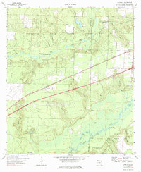
1973 Map of Floridale
USGS Topo · Published 1985About this map
The Blackwater River State Forest and Blackwater River State Park define much of this Panhandle landscape, where the Blackwater River and Yellow River wind through the borderlands of Santa Rosa and Okaloosa counties. The Louisville and Nashville railroad serves as the primary corridor for commerce and settlement, connecting the village of Floridale to the larger rail network. Numerous landings along the riverbanks, such as Riley Landing, Sweetgum Landing, and Garnier Landing, reflect a long-standing reliance on the local waterways for transport and timber.
Find a feature on this map
48 named features on this map. Tap any name to fly to it.
Don’t see what you’re looking for? This feature index may not catch every label — zoom into the map to look around manually.
Map Details
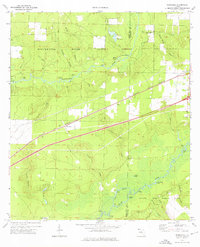
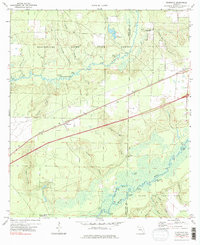
Editions of this 1973 Floridale Map
3 editions found
Other maps of this area

1934 · Holt
USGS Topo · 1:48,000

1934 · Harold
USGS Topo · 1:62,500

1937 · Holt
USGS Topo · 1:62,500

1937 · Harold
USGS Topo · 1:62,500

1938 · Harold
USGS Topo · 1:62,500

1948 · Munson
USGS Topo · 1:62,500

1949 · Crestview
USGS Topo · 1:62,500

1950 · Munson
USGS Topo · 1:62,500

1951 · Crestview
USGS Topo · 1:62,500

1956 · Holt
USGS Topo · 1:62,500