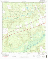
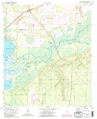
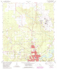
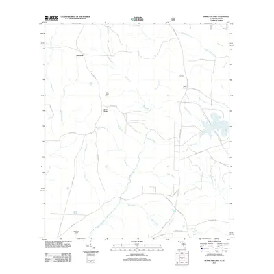
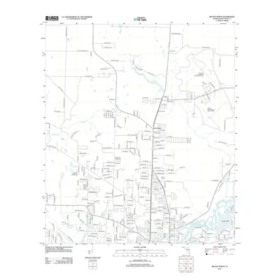
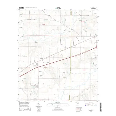
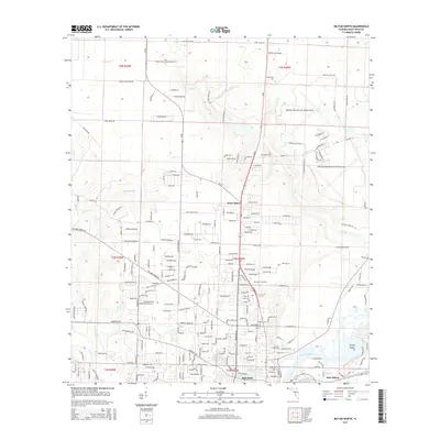
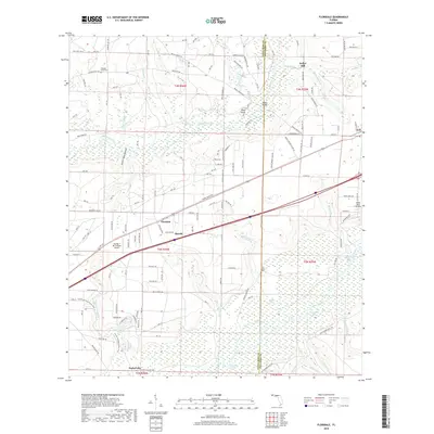
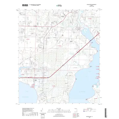
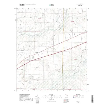
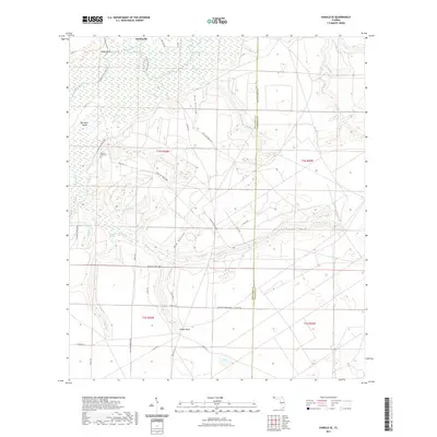
1973 Map of Floridale
USGS Topo · Published 1985About this map
The Blackwater River State Forest and the northern reaches of Eglin Air Force Base dominate this Panhandle landscape, where the Blackwater River and Yellow River carve distinct drainage basins through the terrain. The settlements of Floridale and Holt are tied to the corridor of the Louisville and Nashville railroad, which runs east-to-west alongside the primary highway.
Find a feature on this map
43 named features on this map. Tap any name to fly to it.
Don’t see what you’re looking for? This feature index may not catch every label — zoom into the map to look around manually.
Map Details
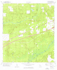
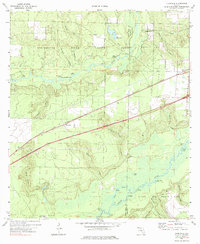
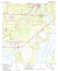
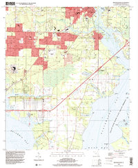
Editions of this 1973 Floridale Map
3 editions found
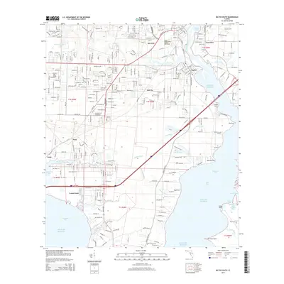
Historical Maps of Kellys Mill Through Time
50 maps found
1970 Harold SE
Santa Rosa County, FL
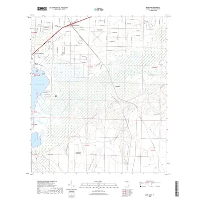
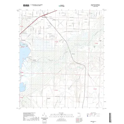
1970 Ward Basin
Santa Rosa County, FL
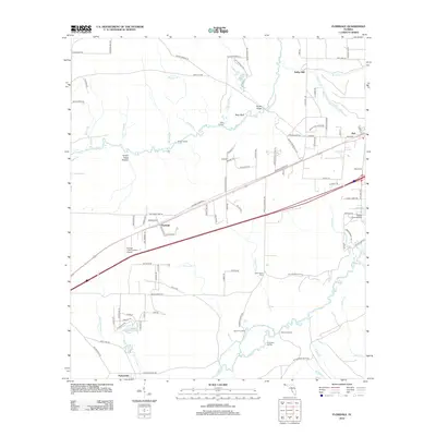
1973 Floridale
Santa Rosa County, FL
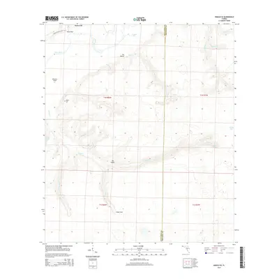
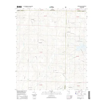
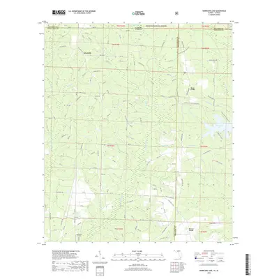
1973 Hurricane Lake
Santa Rosa County, FL
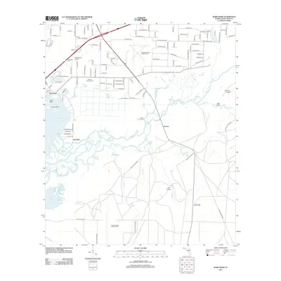
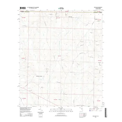
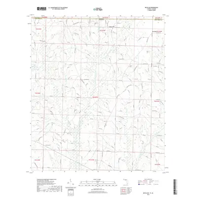
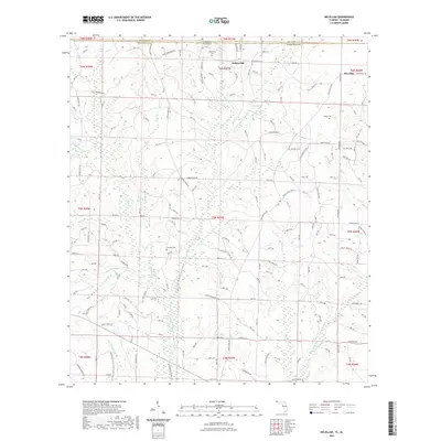
1973 McLellan
Santa Rosa County, FL
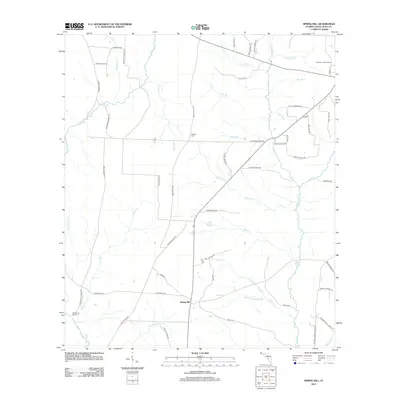
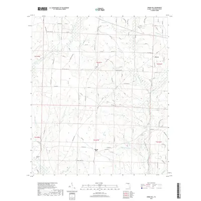
1973 Spring Hill
Santa Rosa County, FL
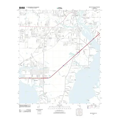
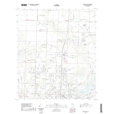
1978 Milton North
Santa Rosa County, FL
1978 Milton South
Santa Rosa County, FL
1994 Milton South
Santa Rosa County, FL
1994 Ward Basin
Santa Rosa County, FL
2011 Hurricane Lake
Santa Rosa County, FL
2012 Floridale
Santa Rosa County, FL
2012 Harold SE
Santa Rosa County, FL
2012 McLellan
Santa Rosa County, FL
2012 Milton North
Santa Rosa County, FL
2012 Milton South
Santa Rosa County, FL
2012 Spring Hill
Santa Rosa County, FL
2012 Ward Basin
Santa Rosa County, FL
2015 Floridale
Santa Rosa County, FL
2015 Harold SE
Santa Rosa County, FL
2015 Hurricane Lake
Santa Rosa County, FL
2015 McLellan
Santa Rosa County, FL
2015 Milton North
Santa Rosa County, FL
2015 Milton South
Santa Rosa County, FL
2015 Spring Hill
Santa Rosa County, FL
2015 Ward Basin
Santa Rosa County, FL
2018 Floridale
Santa Rosa County, FL

2018 Harold SE
Santa Rosa County, FL
2018 Hurricane Lake
Santa Rosa County, FL
2018 McLellan
Santa Rosa County, FL
2018 Milton North
Santa Rosa County, FL
2018 Milton South
Santa Rosa County, FL
2018 Spring Hill
Santa Rosa County, FL
2018 Ward Basin
Santa Rosa County, FL
2021 Floridale
Santa Rosa County, FL
2021 Harold SE
Santa Rosa County, FL

2021 Hurricane Lake
Santa Rosa County, FL
2021 McLellan
Santa Rosa County, FL
2021 Milton North
Santa Rosa County, FL

2021 Milton South
Santa Rosa County, FL

2021 Spring Hill
Santa Rosa County, FL
2021 Ward Basin
Santa Rosa County, FL
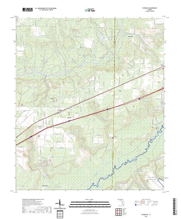
2024 Floridale
Santa Rosa County, FL
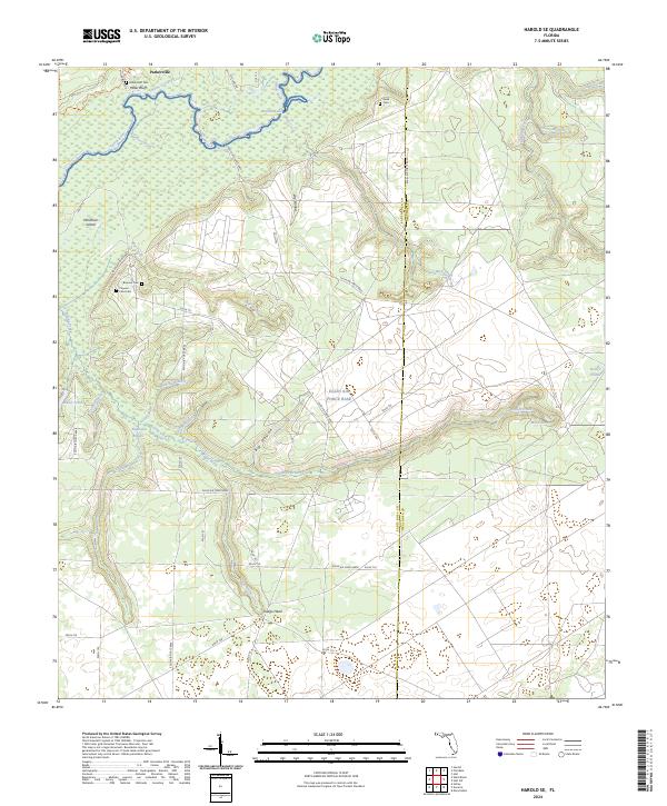
2024 Harold SE
Santa Rosa County, FL
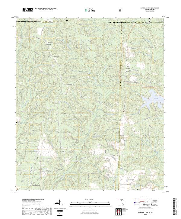
2024 Hurricane Lake
Santa Rosa County, FL
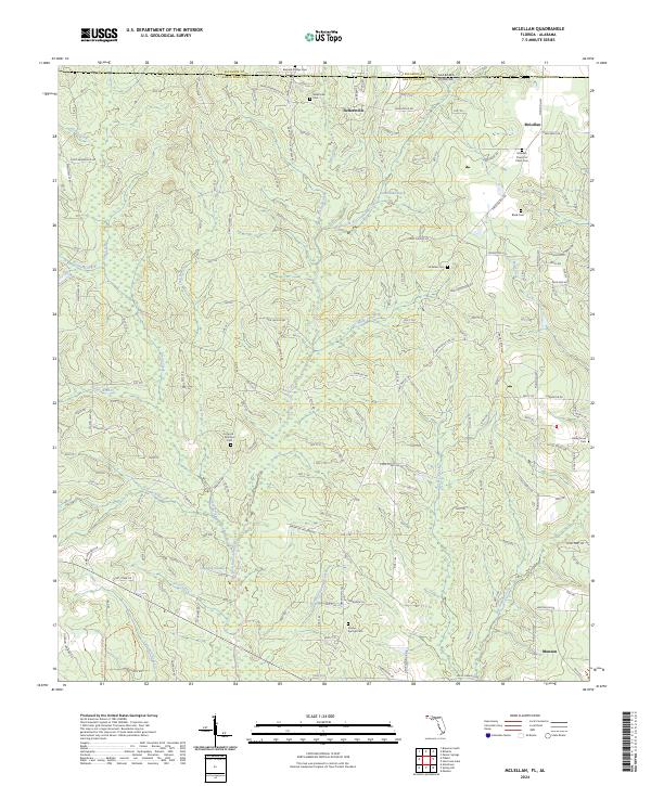
2024 McLellan
Santa Rosa County, FL
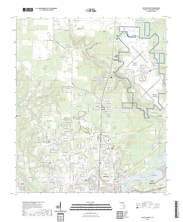
2024 Milton North
Santa Rosa County, FL
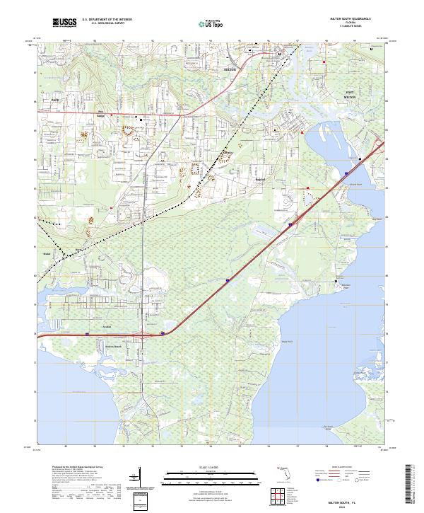
2024 Milton South
Santa Rosa County, FL
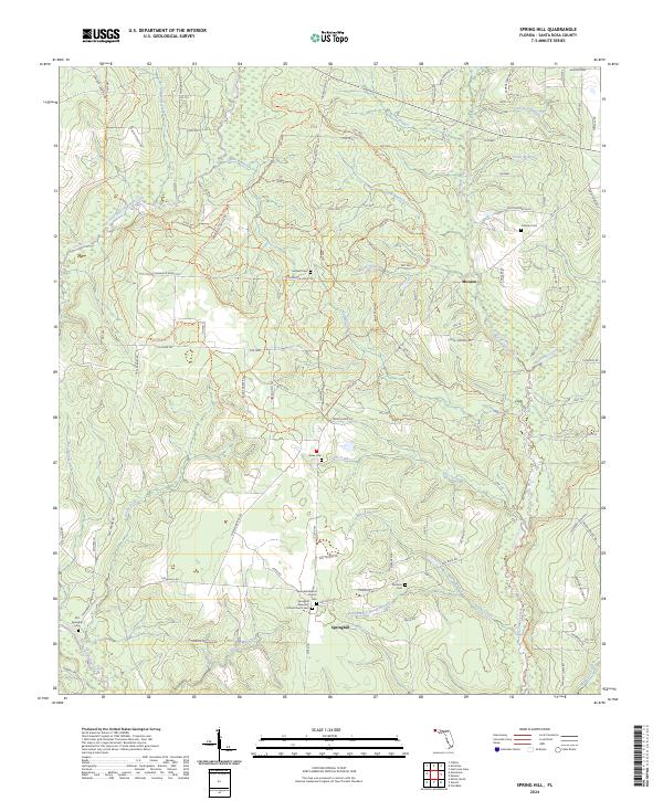
2024 Spring Hill
Santa Rosa County, FL
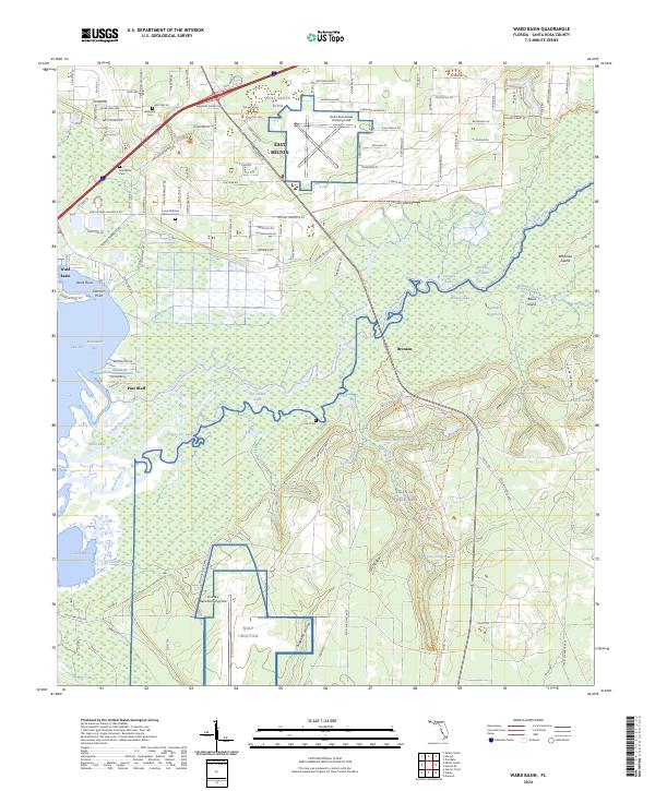
2024 Ward Basin
Santa Rosa County, FL