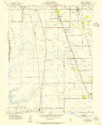
1953 Map of Florin
USGS Topo · Published 1954About this map
Agricultural lands and riparian corridors south of Sacramento define this mid-century survey, anchored by the community of Florin and its surrounding vineyards. The landscape is structured by the competing paths of the Western Pacific and Southern Pacific railroads, which parallel the major north-south arteries of Stockton Boulevard and Franklin Boulevard. To the west, the winding course of the Sacramento River and the low-lying waters of Stone Lake and Beach Lake provide a sharp contrast to the geometric grid of orchards and farmland.
Find a feature on this map
48 named features on this map. Tap any name to fly to it.
Don’t see what you’re looking for? This feature index may not catch every label — zoom into the map to look around manually.
Map Details
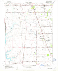
Editions of this 1953 Florin Map
2 editions found
Other maps of this area

1891 · Sacramento
USGS Topo · 1:125,000

1892 · Sacramento
USGS Topo · 1:125,000

1893 · Sacramento
USGS Topo · 1:125,000

1894 · Lodi
USGS Topo · 1:125,000

1902 · Fairoaks
USGS Topo · 1:62,500

1907 · Davisville
USGS Topo · 1:62,500

1908 · Courtland
USGS Topo · 1:62,500

1909 · Elk Grove
USGS Topo · 1:31,680

1909 · Florin
USGS Topo · 1:31,680

1910 · Bruceville
USGS Topo · 1:31,680