Loading...
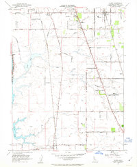
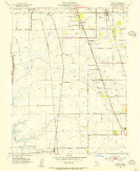
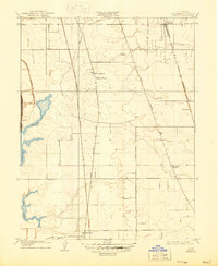
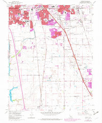
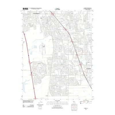
Loading map...1953 Map of Florin
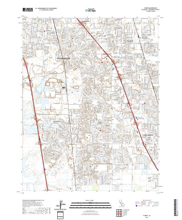
USGS Topo · Published 1963About this map
Agricultural lands and emerging residential tracts define this 1953 landscape south of the Sacramento City Bdy. The small community of Florin sits at the intersection of early transportation corridors, served by the Southern Pacific and Western Pacific railroads. The area shows a transition from rural farmsteads, marked by numerous windmills and specialized sites like the County Home for the Aged and Sky Ranch, toward modern infrastructure.
Find a feature on this map
54 named features on this map. Tap any name to fly to it.
Don’t see what you’re looking for? This feature index may not catch every label — zoom into the map to look around manually.
Map Details
Date Portrayed1953
Date Published1963
PublisherU.S. Geological Survey
Map TypeTopographic
Scale1:24,000
Physical Dimensions22 x 26.8 inches
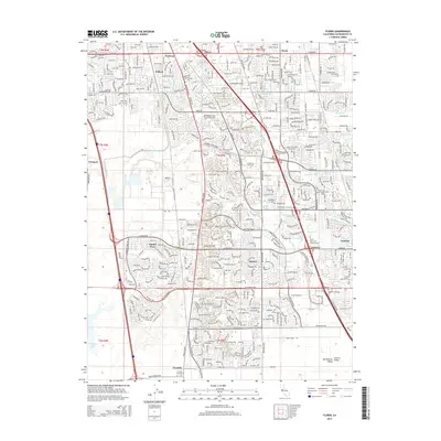
Editions of this 1953 Florin Map
2 editions found
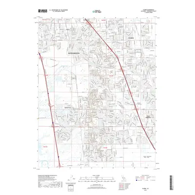
Historical Maps of Sacramento Through Time
7 maps found
Featured Locations
Source Details
SourceU.S. Geological Survey
CopyrightPublic Domain