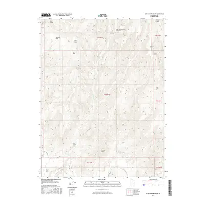
2017 Map of Floy Canyon South
USGS Topo · Published 2017About this map
Book Cliffs define the dramatic topography of this Grand County corridor, where high desert plateaus transition into a complex system of carved drainages. The landscape is characterized by a series of deep canyons and named benches, including Thompson Bench and the prominent Crescent Butte. Historically significant for its accessibility through the rugged terrain, the area is crisscrossed by paths such as Floy Cyn Rd and Blaze Canyon Bench, which navigate the elevation changes between the lower Floy Wash and the surrounding heights. Several isolated water sources, such as Tom Spring and Cub Spring, provided critical points of relief in this arid environment, likely serving early travelers and livestock operators. The map also records family-named landmarks like Tom Farrer Valley, suggesting a history of local land use and seasonal grazing in the valleys tucked between Horse Canyon and Middle Horse Canyon.
Find a feature on this map
32 named features on this map. Tap any name to fly to it.
Don’t see what you’re looking for? This feature index may not catch every label — zoom into the map to look around manually.
Map Details
Editions of this 2017 Floy Canyon South Map
This is the sole edition of this map. No revisions or reprints were ever made.
Other maps of this area

1885 · East Tavaputs
USGS Topo · 1:250,000

1885 · La Sal
USGS Topo · 1:250,000

1956 · Moab
USGS Topo · 1:250,000

1956 · Grand Junction
USGS Topo · 1:250,000

1958 · Crescent Junction
USGS Topo · 1:62,500

1958 · Thompson
USGS Topo · 1:62,500

1959 · Grand Junction
USGS Topo · 1:250,000

1959 · Moab
USGS Topo · 1:250,000

1960 · Moab
USGS Topo · 1:250,000

1960 · Grand Junction
USGS Topo · 1:250,000