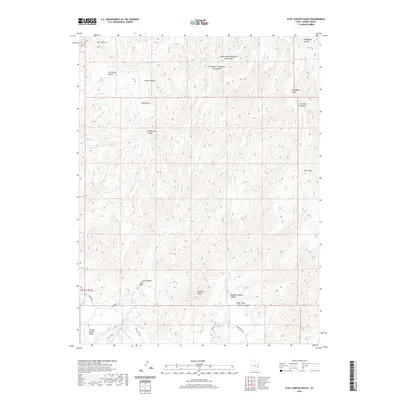
2020 Map of Floy Canyon South
USGS Topo · Published 2020About this map
Book Cliffs rise sharply in this Grand County landscape, defining a region of deep drainage systems and prominent plateaus. The map details the complex geography of the Floy Canyon Wash system, including the Left Hand Threeforks Floy Canyon and Right Hand Threeforks Floy Canyon. These canyons are separated by high-elevation features like Crescent Butte and the extensive Thompson Bench.
Find a feature on this map
28 named features on this map. Tap any name to fly to it.
Don’t see what you’re looking for? This feature index may not catch every label — zoom into the map to look around manually.
Map Details
Editions of this 2020 Floy Canyon South Map
This is the sole edition of this map. No revisions or reprints were ever made.
Other maps of this area

1885 · East Tavaputs
USGS Topo · 1:250,000

1885 · La Sal
USGS Topo · 1:250,000

1956 · Moab
USGS Topo · 1:250,000

1956 · Grand Junction
USGS Topo · 1:250,000

1958 · Crescent Junction
USGS Topo · 1:62,500

1958 · Thompson
USGS Topo · 1:62,500

1959 · Grand Junction
USGS Topo · 1:250,000

1959 · Moab
USGS Topo · 1:250,000

1960 · Moab
USGS Topo · 1:250,000

1960 · Grand Junction
USGS Topo · 1:250,000