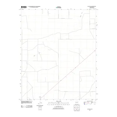
2010 Map of Floyd SE
USGS Topo · Published 2010About this map
Kermit sits at the southwestern edge of this High Plains landscape in Roosevelt County, marking a small settlement node amidst a vast grid of section roads. The terrain is defined by the ephemeral passage of Boone Draw, which meanders across the northern and western portions of the quadrangle. This drainage feature provides the only significant break in the geometric regularity of the region, where the rural transportation network is strictly aligned to the cardinal directions.
Find a feature on this map
10 named features on this map. Tap any name to fly to it.
Don’t see what you’re looking for? This feature index may not catch every label — zoom into the map to look around manually.
Map Details
Editions of this 2010 Floyd SE Map
This is the sole edition of this map. No revisions or reprints were ever made.
Other maps of this area

1954 · Clovis
USGS Topo · 1:250,000

1954 · Brownfield
USGS Topo · 1:250,000

1957 · Portales
USGS Topo · 1:62,500

1958 · Brownfield
USGS Topo · 1:250,000

1958 · Clovis
USGS Topo · 1:250,000

1962 · Brownfield
USGS Topo · 1:250,000

1972 · Dora NW
USGS Topo · 1:24,000

1973 · Floyd
USGS Topo · 1:24,000

1973 · Lewiston Lake
USGS Topo · 1:24,000

1973 · Upton
USGS Topo · 1:24,000