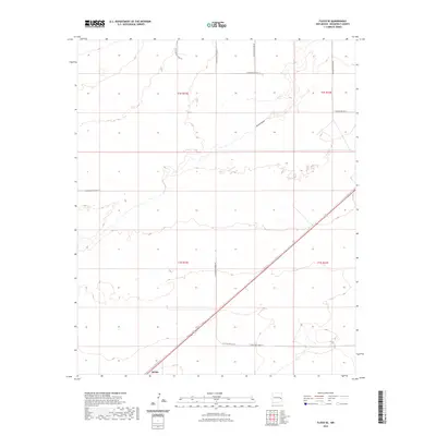
2023 Map of Floyd SE
USGS Topo · Published 2023About this map
Kermit sits at the southern edge of this High Plains landscape in Roosevelt County, where the grid of the Public Land Survey System meets the natural drainage of Boone Draw. The area is defined by its agricultural layout, with a network of rural routes including S Roosevelt Road AG and S Roosevelt Road 10 providing access across the township lines of t2s r32e and t3s r32e. This 2023 survey illustrates the modern configuration of this cattle-and-crops region, tracing the topography of the draw as it cuts through the flat plains. For local historians or genealogists, the map preserves the specific locations of rural homestead access roads and the relationship between the small settlement of Kermit and the surrounding ranchland infrastructure.
Find a feature on this map
15 named features on this map. Tap any name to fly to it.
Don’t see what you’re looking for? This feature index may not catch every label — zoom into the map to look around manually.
Map Details
Editions of this 2023 Floyd SE Map
This is the sole edition of this map. No revisions or reprints were ever made.
Other maps of this area

1954 · Clovis
USGS Topo · 1:250,000

1954 · Brownfield
USGS Topo · 1:250,000

1957 · Portales
USGS Topo · 1:62,500

1958 · Brownfield
USGS Topo · 1:250,000

1958 · Clovis
USGS Topo · 1:250,000

1962 · Brownfield
USGS Topo · 1:250,000

1972 · Dora NW
USGS Topo · 1:24,000

1973 · Floyd
USGS Topo · 1:24,000

1973 · Lewiston Lake
USGS Topo · 1:24,000

1973 · Upton
USGS Topo · 1:24,000