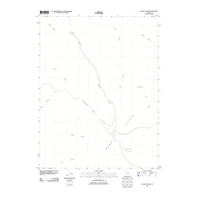
2011 Map of Flume Canyon
USGS Topo · Published 2011About this map
Book Cliffs dominate this eastern Utah landscape, forming a dramatic escarpment that defines the drainage patterns of the region. The map reveals a complex network of intermittent watercourses, including Diamond Canyon, Cottonwood Canyon, and Flume Canyon, which carve through the high desert plateau. These canyons serve as the primary topographical features in an area where resource extraction is the chief human footprint. The southeastern portion of the quadrangle is marked by industrial activity, specifically the Book Cliffs Oil and Gas Field and the Cisco Springs North Gas Field. This 2011 survey illustrates the spatial relationship between the natural ruggedness of Halfway Canyon and Horse Canyon and the modern infrastructure required for energy production in the high desert.
Find a feature on this map
13 named features on this map. Tap any name to fly to it.
Don’t see what you’re looking for? This feature index may not catch every label — zoom into the map to look around manually.
Map Details
Editions of this 2011 Flume Canyon Map
This is the sole edition of this map. No revisions or reprints were ever made.
Other maps of this area

1885 · East Tavaputs
USGS Topo · 1:250,000

1956 · Grand Junction
USGS Topo · 1:250,000

1959 · Grand Junction
USGS Topo · 1:250,000

1960 · Grand Junction
USGS Topo · 1:250,000

1962 · Grand Junction
USGS Topo · 1:250,000

1963 · Tenmile Canyon
USGS Topo · 1:62,500

1963 · Sego Canyon
USGS Topo · 1:62,500

1964 · Grand Junction
USGS Topo · 1:250,000

1965 · Grand Junction
USGS Topo · 1:250,000

1970 · Flume Canyon
USGS Topo · 1:24,000