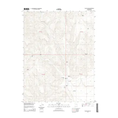
2014 Map of Flume Canyon
USGS Topo · Published 2014About this map
The Book Cliffs dominate the landscape of this Grand County quadrangle, where the steep escarpments and complex drainage systems define the regional geography. This 2014 survey documents the industrial footprint within the terrain, specifically identifying the Book Cliffs Oil and Gas Field and the Cisco Springs North Gas Field. These energy developments are situated among a series of deep cuts including Diamond Canyon, Flume Canyon, and Antone Canyon, illustrating how resource extraction has integrated into the natural breaks of the plateau.
Find a feature on this map
18 named features on this map. Tap any name to fly to it.
Don’t see what you’re looking for? This feature index may not catch every label — zoom into the map to look around manually.
Map Details
Editions of this 2014 Flume Canyon Map
This is the sole edition of this map. No revisions or reprints were ever made.
Other maps of this area

1885 · East Tavaputs
USGS Topo · 1:250,000

1956 · Grand Junction
USGS Topo · 1:250,000

1959 · Grand Junction
USGS Topo · 1:250,000

1960 · Grand Junction
USGS Topo · 1:250,000

1962 · Grand Junction
USGS Topo · 1:250,000

1963 · Tenmile Canyon
USGS Topo · 1:62,500

1963 · Sego Canyon
USGS Topo · 1:62,500

1964 · Grand Junction
USGS Topo · 1:250,000

1965 · Grand Junction
USGS Topo · 1:250,000

1970 · Flume Canyon
USGS Topo · 1:24,000