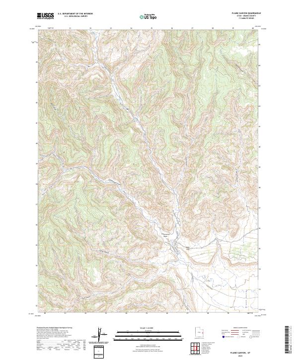
2023 Map of Flume Canyon
USGS Topo · Published 2023About this map
Book Cliffs dominate the southern portion of this Grand County landscape, where the dramatic elevation drop marks the transition into the Grand Valley. The drainage network is dense and complex, with named features like Horse Canyon, Flume Canyon, and Coal Canyon carving deep paths through the plateau. These canyons converge toward the Cottonwood Wash, illustrating the erosional forces that have shaped this part of the Colorado Plateau.
Find a feature on this map
18 named features on this map. Tap any name to fly to it.
Don’t see what you’re looking for? This feature index may not catch every label — zoom into the map to look around manually.
Map Details
Editions of this 2023 Flume Canyon Map
This is the sole edition of this map. No revisions or reprints were ever made.
Other maps of this area

1885 · East Tavaputs
USGS Topo · 1:250,000

1956 · Grand Junction
USGS Topo · 1:250,000

1959 · Grand Junction
USGS Topo · 1:250,000

1960 · Grand Junction
USGS Topo · 1:250,000

1962 · Grand Junction
USGS Topo · 1:250,000

1963 · Tenmile Canyon
USGS Topo · 1:62,500

1963 · Sego Canyon
USGS Topo · 1:62,500

1964 · Grand Junction
USGS Topo · 1:250,000

1965 · Grand Junction
USGS Topo · 1:250,000

1970 · Flume Canyon
USGS Topo · 1:24,000