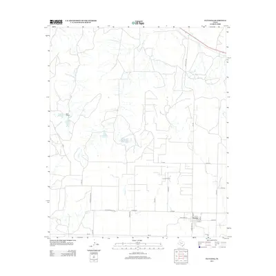
2012 Map of Fluvanna
USGS Topo · Published 2012About this map
Fluvanna sits at the intersection of Ranch Road 612 and Ranch Road 1269, serving as the primary hub for this portion of Scurry County. The town site is laid out with several named streets, including Main St and Oak St, and is anchored by the Fluvanna Cem to the south. This survey captures a landscape defined by ranching and resource extraction, notably featuring the Fluvanna Oil Field to the northwest of the main settlement.
Find a feature on this map
37 named features on this map. Tap any name to fly to it.
Don’t see what you’re looking for? This feature index may not catch every label — zoom into the map to look around manually.
Map Details
Editions of this 2012 Fluvanna Map
This is the sole edition of this map. No revisions or reprints were ever made.
Other maps of this area

1954 · Dermott
USGS Topo · 1:24,000

1954 · Lubbock
USGS Topo · 1:250,000

1954 · Big Spring
USGS Topo · 1:250,000

1958 · Big Spring
USGS Topo · 1:250,000

1969 · Gail NE
USGS Topo · 1:24,000

1969 · Arah
USGS Topo · 1:24,000

1969 · Justiceburg SE
USGS Topo · 1:24,000

1969 · Fluvanna
USGS Topo · 1:24,000

1969 · Justiceburg
USGS Topo · 1:24,000

1969 · Cooper Creek
USGS Topo · 1:24,000