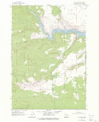
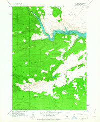
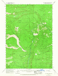
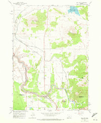
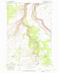
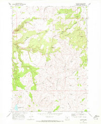
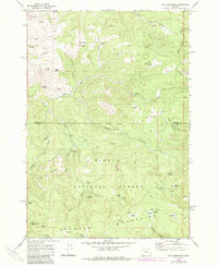
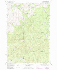
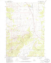
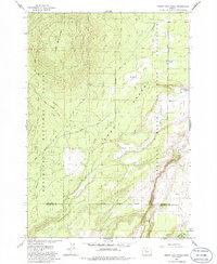
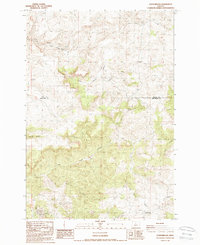
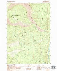
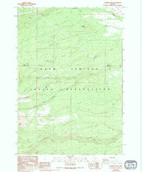
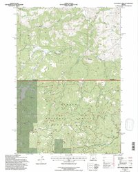
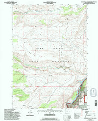
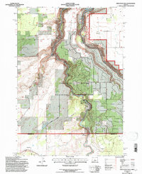
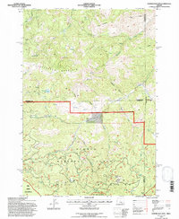
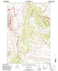
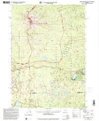
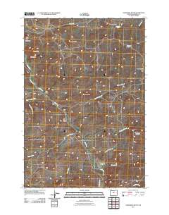
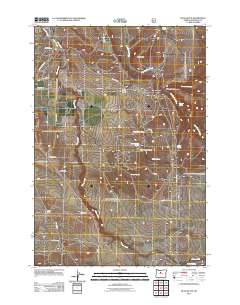
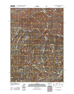
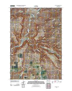
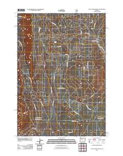
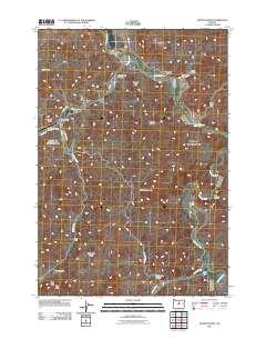
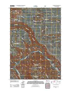
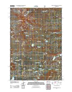
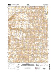
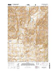
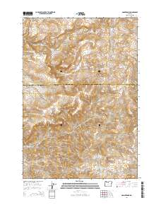
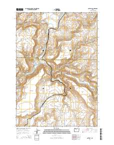
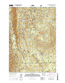
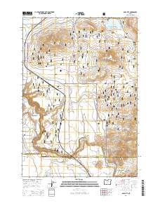
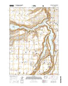
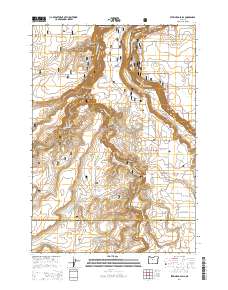
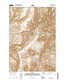
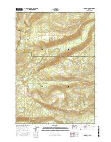
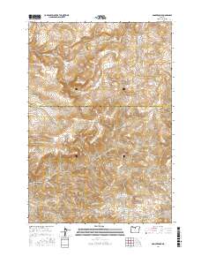
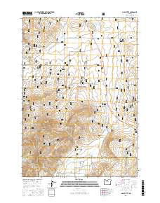
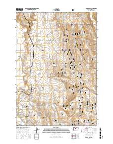
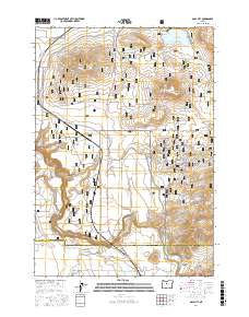
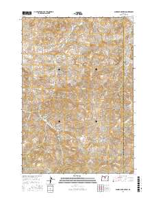
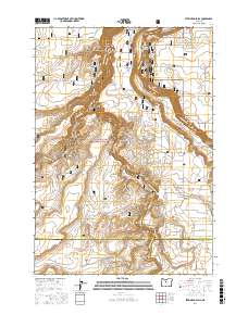
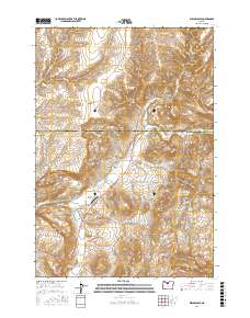
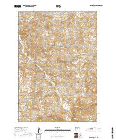
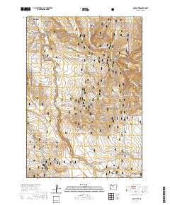
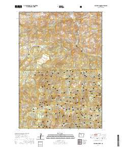
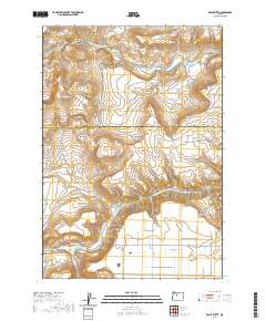
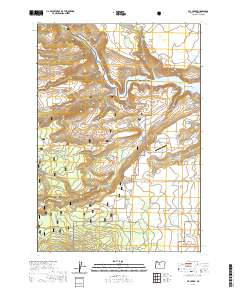
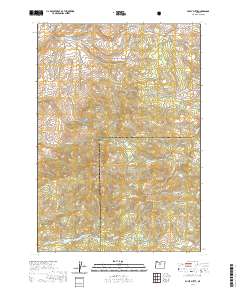
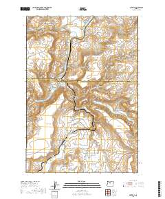
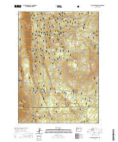
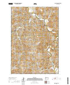
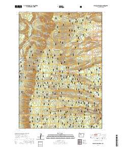
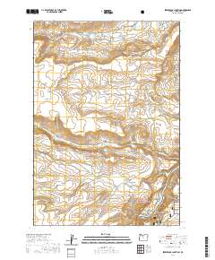
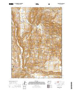
1962 Map of Fly Creek
USGS Topo · Published 1977About this map
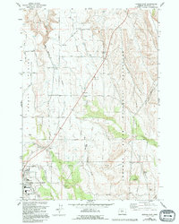
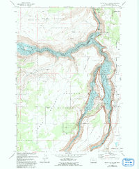
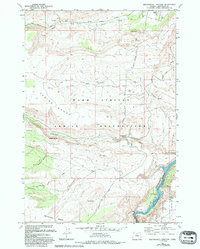
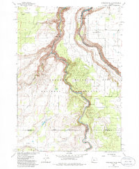
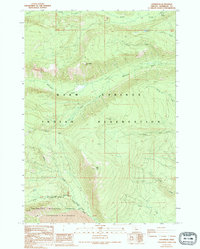
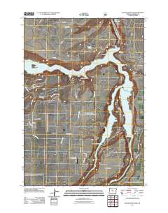
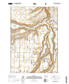
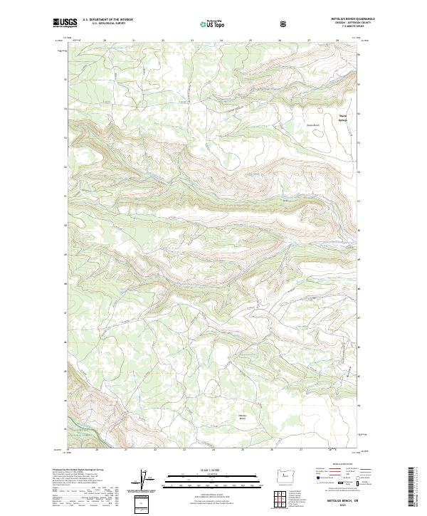
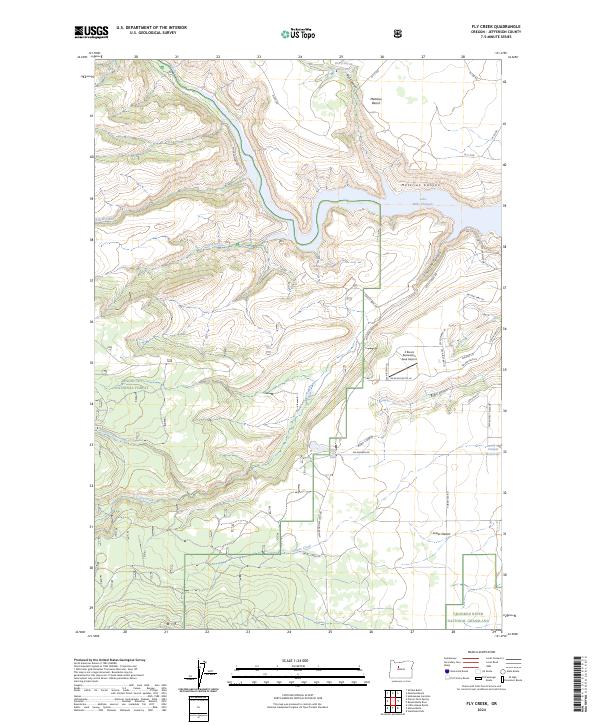
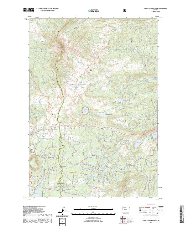
Metolius River canyons and the emerging waters of Billy Chinook Lake dominate this Jefferson County landscape, where the high desert meets the eastern edge of the Deschutes National Forest. The map documents a rugged transition zone defined by deep incisions like Box Canyon and Allen Canyon, which carve through the Metolius Bench. Along the northern edge, the Warm Springs Indian Res Bdy follows the river's path, marking a significant jurisdictional and cultural boundary.
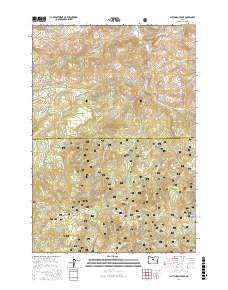
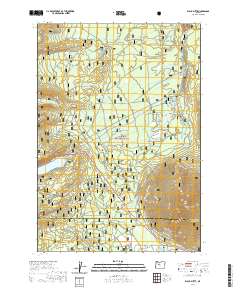
Find a feature on this map
25 named features on this map. Tap any name to fly to it.
Don’t see what you’re looking for? This feature index may not catch every label — zoom into the map to look around manually.
Map Details
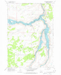
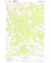
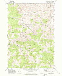
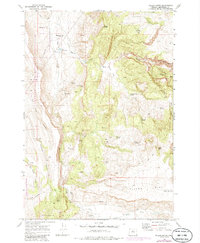
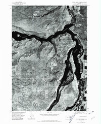
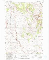
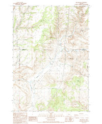
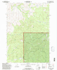
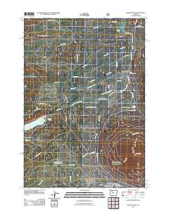
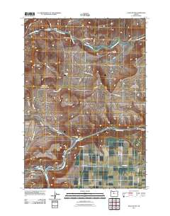
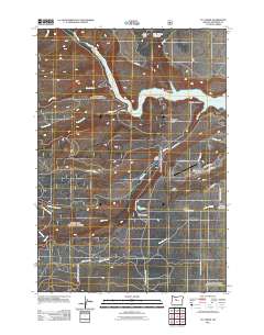
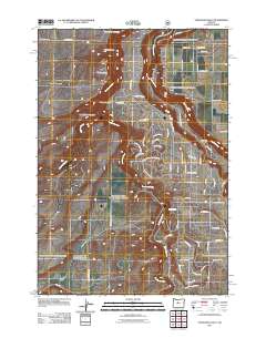
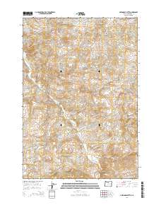
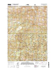
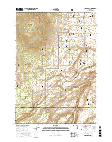
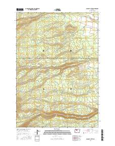
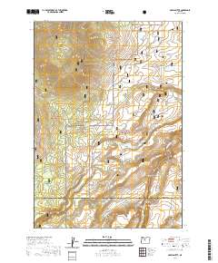
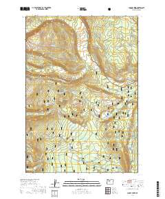
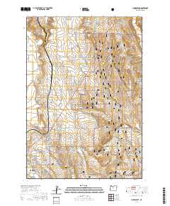
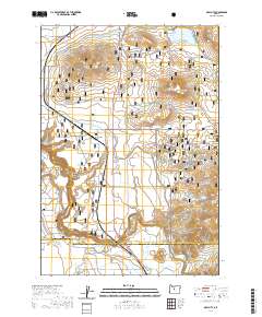
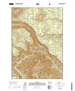
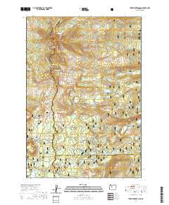
Editions of this 1962 Fly Creek Map
2 editions found
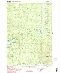
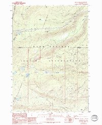
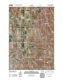
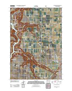
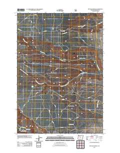
Historical Maps of Jefferson County Through Time
256 maps found
1927 Mt. Jefferson
Jefferson County, OR
1930 Mt. Jefferson
Jefferson County, OR
1961 Whitewater River
Jefferson County, OR

1962 Eagle Butte
Jefferson County, OR
1962 Fly Creek
Jefferson County, OR
1962 Gateway
Jefferson County, OR
1962 Gray Butte
Jefferson County, OR
1962 Metolius Bench
Jefferson County, OR
1962 Opal City
Jefferson County, OR
1962 Round Butte Dam
Jefferson County, OR
1962 Seekseequa Junction
Jefferson County, OR
1962 Squaw Back Ridge
Jefferson County, OR
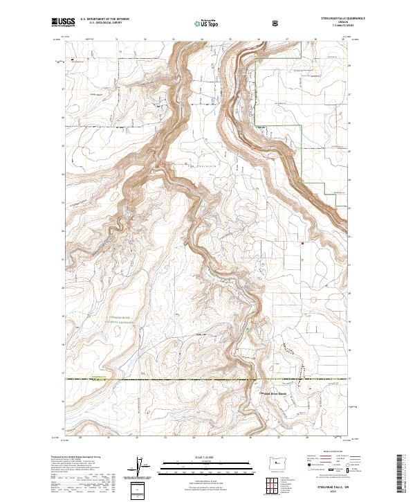
1962 Steelhead Falls
Jefferson County, OR

1963 Buck Butte
Jefferson County, OR
1963 Madras East
Jefferson County, OR
1963 Madras West
Jefferson County, OR
1963 Potters Ponds
Jefferson County, OR
1968 Ashwood
Jefferson County, OR
1968 Axehandle Butte
Jefferson County, OR
1968 Dutchman Creek
Jefferson County, OR
1968 Horse Heaven Creek
Jefferson County, OR
1968 Opal Mountain
Jefferson County, OR
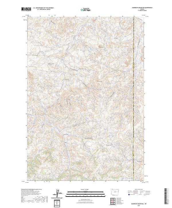
1968 Sandrock Mtn
Jefferson County, OR
1968 Stephenson Mtn.
Jefferson County, OR
1969 Brewer Reservoir
Jefferson County, OR
1969 Foley Butte
Jefferson County, OR
1969 Teller Butte
Jefferson County, OR
1976 Round Butte Dam
Jefferson County, OR
1985 Buck Butte
Jefferson County, OR
1985 Gray Butte
Jefferson County, OR
1985 Madras East
Jefferson County, OR

1985 Madras West
Jefferson County, OR

1985 Opal City
Jefferson County, OR
1985 Round Butte Dam
Jefferson County, OR
1985 Seekseequa Junction
Jefferson County, OR
1985 Squaw Back Ridge
Jefferson County, OR
1985 Steelhead Falls
Jefferson County, OR
1987 Arrastra Butte
Jefferson County, OR
1987 Degner Canyon
Jefferson County, OR
1987 Donnybrook
Jefferson County, OR

1987 Muddy Ranch
Jefferson County, OR
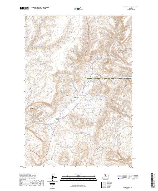
1987 Willowdale
Jefferson County, OR
1988 Black Butte
Jefferson County, OR
1988 Boulder Lake
Jefferson County, OR
1988 Candle Creek
Jefferson County, OR
1988 Lionshead
Jefferson County, OR
1988 Little Squaw Back
Jefferson County, OR
1988 Prairie Farm Spring
Jefferson County, OR
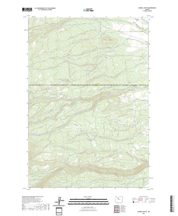
1988 Sawmill Butte
Jefferson County, OR
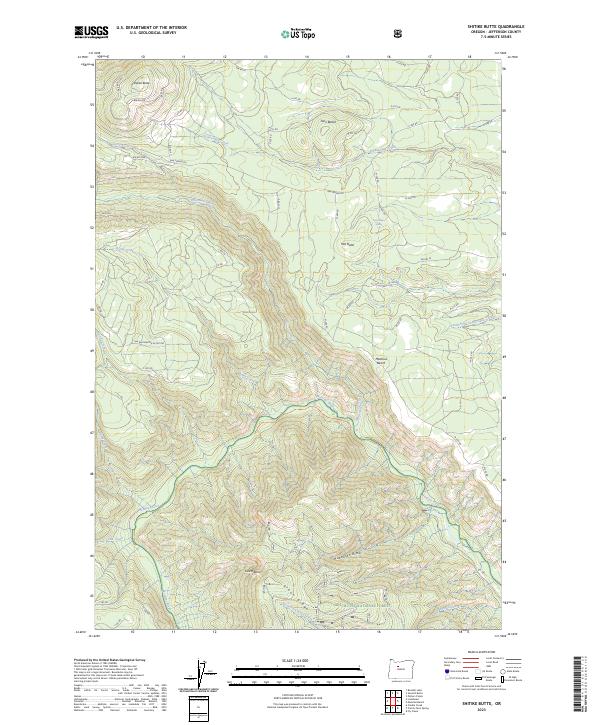
1988 Shitike Butte
Jefferson County, OR
1988 Three Fingered Jack
Jefferson County, OR
1992 Brewer Reservoir
Jefferson County, OR

1992 Buck Butte
Jefferson County, OR
1992 Dutchman Creek
Jefferson County, OR
1992 Foley Butte
Jefferson County, OR
1992 Gray Butte
Jefferson County, OR

1992 Madras East
Jefferson County, OR

1992 Madras West
Jefferson County, OR

1992 Opal City
Jefferson County, OR
1992 Opal Mountain
Jefferson County, OR

1992 Round Butte Dam
Jefferson County, OR
1992 Seekseequa Junction
Jefferson County, OR
1992 Steelhead Falls
Jefferson County, OR
1992 Stephenson Mtn.
Jefferson County, OR
1992 Teller Butte
Jefferson County, OR
1997 Three Fingered Jack
Jefferson County, OR
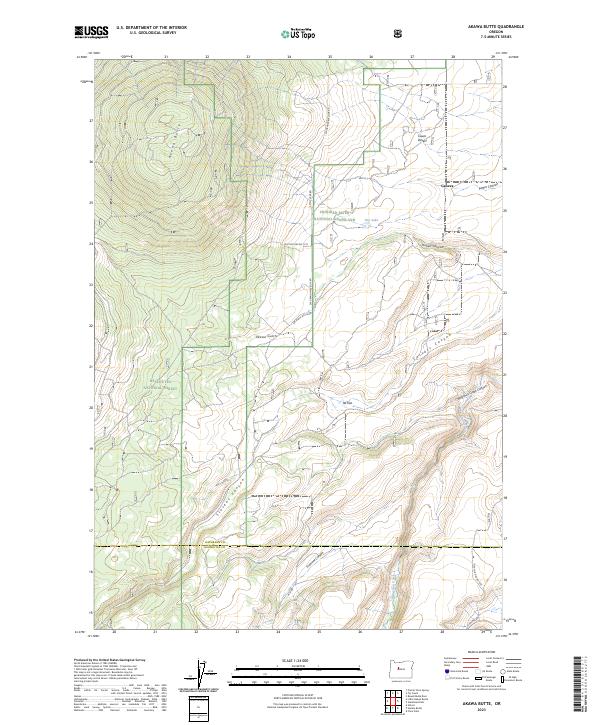
2011 Akawa Butte
Jefferson County, OR
2011 Arrastra Butte
Jefferson County, OR
2011 Ashwood
Jefferson County, OR
2011 Axehandle Butte
Jefferson County, OR
2011 Black Butte
Jefferson County, OR
2011 Boulder Lake
Jefferson County, OR
2011 Brewer Reservoir
Jefferson County, OR
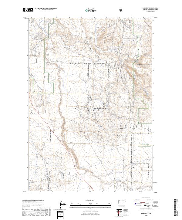
2011 Buck Butte
Jefferson County, OR
2011 Candle Creek
Jefferson County, OR
2011 Degner Canyon
Jefferson County, OR
2011 Donnybrook
Jefferson County, OR
2011 Dutchman Creek
Jefferson County, OR
2011 Eagle Butte
Jefferson County, OR
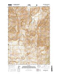
2011 Fly Creek
Jefferson County, OR
2011 Foley Butte
Jefferson County, OR
2011 Gateway
Jefferson County, OR
2011 Gray Butte
Jefferson County, OR
2011 Horse Heaven Creek
Jefferson County, OR
2011 Lionshead
Jefferson County, OR
2011 Little Akawa Butte
Jefferson County, OR
2011 Madras East
Jefferson County, OR
2011 Madras West
Jefferson County, OR
2011 Metolius Bench
Jefferson County, OR
2011 Muddy Ranch
Jefferson County, OR
2011 Opal City
Jefferson County, OR
2011 Opal Mountain
Jefferson County, OR

2011 Potters Ponds
Jefferson County, OR
2011 Prairie Farm Spring
Jefferson County, OR
2011 Round Butte Dam
Jefferson County, OR
2011 Sandrock Mountain
Jefferson County, OR
2011 Sawmill Butte
Jefferson County, OR
2011 Seekseequa Junction
Jefferson County, OR
2011 Shitike Butte
Jefferson County, OR
2011 Steelhead Falls
Jefferson County, OR
2011 Stephenson Mountain
Jefferson County, OR
2011 Teller Butte
Jefferson County, OR
2011 Three Fingered Jack
Jefferson County, OR
2011 Willowdale
Jefferson County, OR
2014 Akawa Butte
Jefferson County, OR
2014 Arrastra Butte
Jefferson County, OR
2014 Ashwood
Jefferson County, OR
2014 Axehandle Butte
Jefferson County, OR
2014 Black Butte
Jefferson County, OR
2014 Boulder Lake
Jefferson County, OR
2014 Brewer Reservoir
Jefferson County, OR
2014 Buck Butte
Jefferson County, OR
2014 Candle Creek
Jefferson County, OR
2014 Degner Canyon
Jefferson County, OR
2014 Donnybrook
Jefferson County, OR
2014 Dutchman Creek
Jefferson County, OR

2014 Eagle Butte
Jefferson County, OR
2014 Fly Creek
Jefferson County, OR
2014 Foley Butte
Jefferson County, OR
2014 Gateway
Jefferson County, OR
2014 Gray Butte
Jefferson County, OR
2014 Horse Heaven Creek
Jefferson County, OR
2014 Lionshead
Jefferson County, OR
2014 Little Akawa Butte
Jefferson County, OR
2014 Madras East
Jefferson County, OR
2014 Madras West
Jefferson County, OR

2014 Metolius Bench
Jefferson County, OR
2014 Muddy Ranch
Jefferson County, OR
2014 Opal City
Jefferson County, OR
2014 Opal Mountain
Jefferson County, OR
2014 Potters Ponds
Jefferson County, OR
2014 Prairie Farm Spring
Jefferson County, OR
2014 Round Butte Dam
Jefferson County, OR
2014 Sandrock Mountain
Jefferson County, OR
2014 Sawmill Butte
Jefferson County, OR

2014 Seekseequa Junction
Jefferson County, OR
2014 Shitike Butte
Jefferson County, OR
2014 Steelhead Falls
Jefferson County, OR
2014 Stephenson Mountain
Jefferson County, OR
2014 Teller Butte
Jefferson County, OR
2014 Three Fingered Jack
Jefferson County, OR
2014 Willowdale
Jefferson County, OR
2017 Akawa Butte
Jefferson County, OR
2017 Arrastra Butte
Jefferson County, OR

2017 Ashwood
Jefferson County, OR

2017 Axehandle Butte
Jefferson County, OR
2017 Black Butte
Jefferson County, OR
2017 Boulder Lake
Jefferson County, OR
2017 Brewer Reservoir
Jefferson County, OR
2017 Buck Butte
Jefferson County, OR

2017 Candle Creek
Jefferson County, OR
2017 Degner Canyon
Jefferson County, OR
2017 Donnybrook
Jefferson County, OR
2017 Dutchman Creek
Jefferson County, OR
2017 Eagle Butte
Jefferson County, OR

2017 Fly Creek
Jefferson County, OR

2017 Foley Butte
Jefferson County, OR
2017 Gateway
Jefferson County, OR
2017 Gray Butte
Jefferson County, OR
2017 Horse Heaven Creek
Jefferson County, OR
2017 Lionshead
Jefferson County, OR
2017 Little Akawa Butte
Jefferson County, OR
2017 Madras East
Jefferson County, OR
2017 Madras West
Jefferson County, OR
2017 Metolius Bench
Jefferson County, OR
2017 Muddy Ranch
Jefferson County, OR
2017 Opal City
Jefferson County, OR
2017 Opal Mountain
Jefferson County, OR

2017 Potters Ponds
Jefferson County, OR
2017 Prairie Farm Spring
Jefferson County, OR
2017 Round Butte Dam
Jefferson County, OR
2017 Sandrock Mountain
Jefferson County, OR
2017 Sawmill Butte
Jefferson County, OR
2017 Seekseequa Junction
Jefferson County, OR
2017 Shitike Butte
Jefferson County, OR
2017 Steelhead Falls
Jefferson County, OR
2017 Stephenson Mountain
Jefferson County, OR
2017 Teller Butte
Jefferson County, OR
2017 Three Fingered Jack
Jefferson County, OR
2017 Willowdale
Jefferson County, OR
2020 Akawa Butte
Jefferson County, OR
2020 Arrastra Butte
Jefferson County, OR
2020 Ashwood
Jefferson County, OR
2020 Axehandle Butte
Jefferson County, OR
2020 Black Butte
Jefferson County, OR
2020 Boulder Lake
Jefferson County, OR
2020 Brewer Reservoir
Jefferson County, OR
2020 Buck Butte
Jefferson County, OR
2020 Candle Creek
Jefferson County, OR
2020 Degner Canyon
Jefferson County, OR
2020 Donnybrook
Jefferson County, OR
2020 Dutchman Creek
Jefferson County, OR
2020 Eagle Butte
Jefferson County, OR
2020 Fly Creek
Jefferson County, OR
2020 Foley Butte
Jefferson County, OR
2020 Gateway
Jefferson County, OR
2020 Gray Butte
Jefferson County, OR
2020 Horse Heaven Creek
Jefferson County, OR
2020 Lionshead
Jefferson County, OR
2020 Little Akawa Butte
Jefferson County, OR
2020 Madras East
Jefferson County, OR
2020 Madras West
Jefferson County, OR
2020 Metolius Bench
Jefferson County, OR
2020 Muddy Ranch
Jefferson County, OR
2020 Opal City
Jefferson County, OR
2020 Opal Mountain
Jefferson County, OR
2020 Potters Ponds
Jefferson County, OR
2020 Prairie Farm Spring
Jefferson County, OR
2020 Round Butte Dam
Jefferson County, OR
2020 Sandrock Mountain
Jefferson County, OR
2020 Sawmill Butte
Jefferson County, OR
2020 Seekseequa Junction
Jefferson County, OR
2020 Shitike Butte
Jefferson County, OR
2020 Steelhead Falls
Jefferson County, OR
2020 Stephenson Mountain
Jefferson County, OR
2020 Teller Butte
Jefferson County, OR
2020 Three Fingered Jack
Jefferson County, OR
2020 Willowdale
Jefferson County, OR
2023 Akawa Butte
Jefferson County, OR
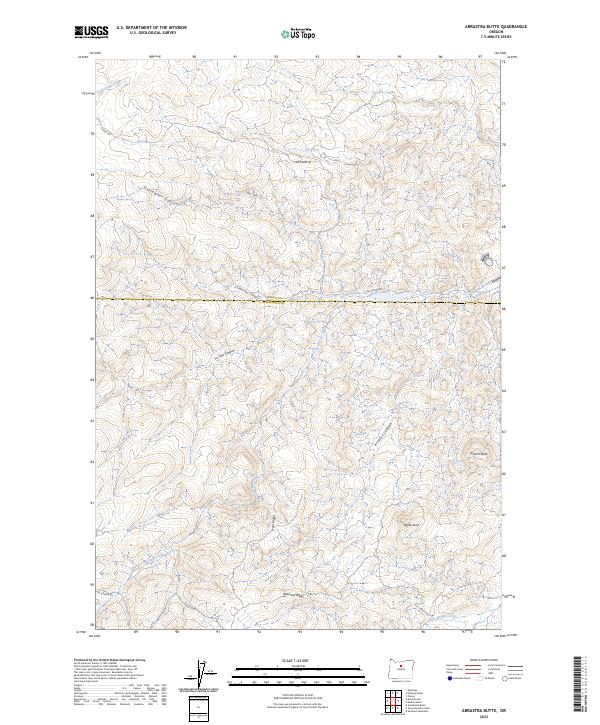
2023 Arrastra Butte
Jefferson County, OR
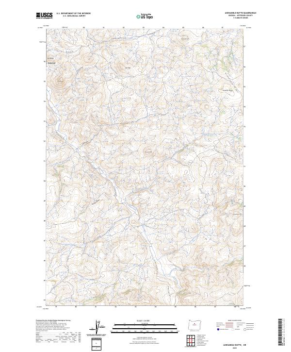
2023 Axehandle Butte
Jefferson County, OR
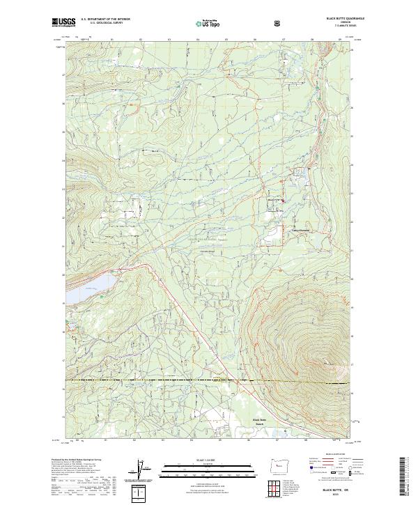
2023 Black Butte
Jefferson County, OR
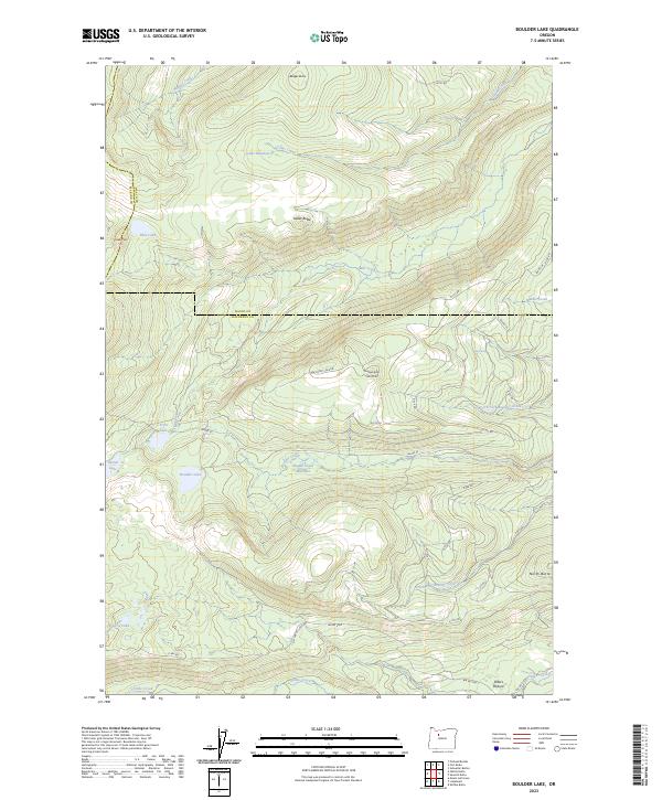
2023 Boulder Lake
Jefferson County, OR
2023 Buck Butte
Jefferson County, OR
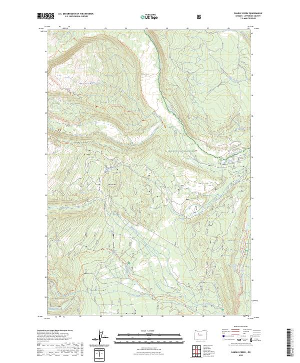
2023 Candle Creek
Jefferson County, OR
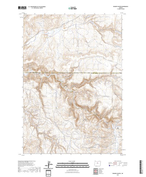
2023 Degner Canyon
Jefferson County, OR
2023 Donnybrook
Jefferson County, OR
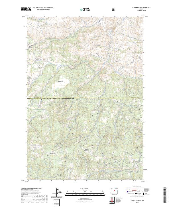
2023 Dutchman Creek
Jefferson County, OR
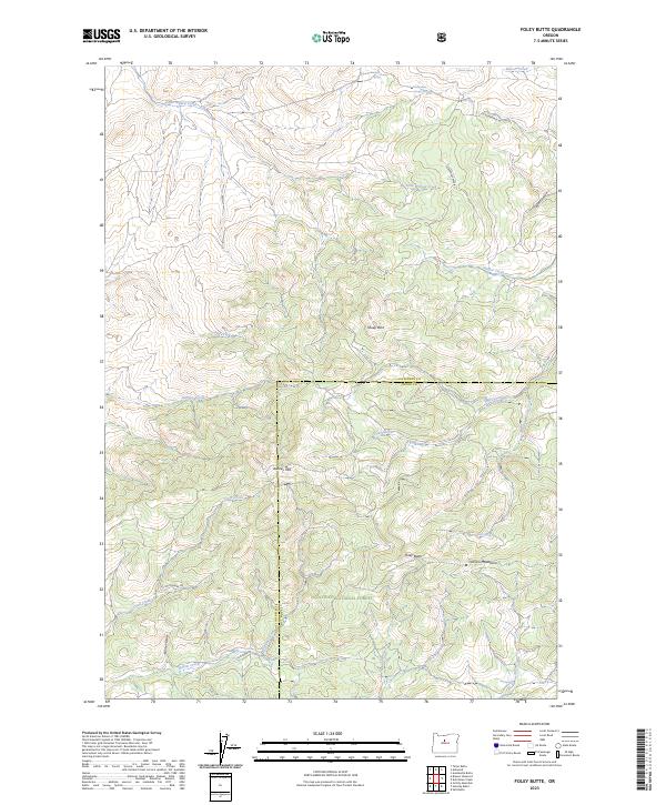
2023 Foley Butte
Jefferson County, OR
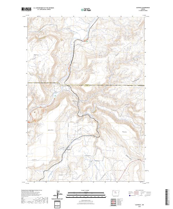
2023 Gateway
Jefferson County, OR
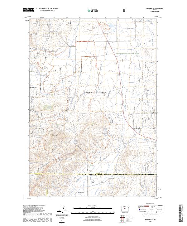
2023 Gray Butte
Jefferson County, OR
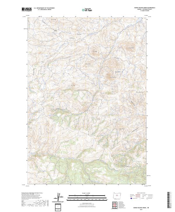
2023 Horse Heaven Creek
Jefferson County, OR
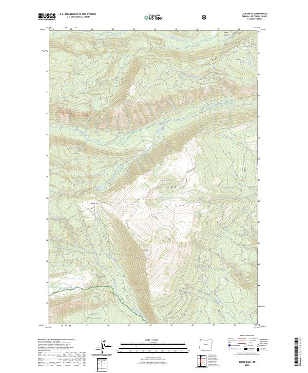
2023 Lionshead
Jefferson County, OR
2023 Little Akawa Butte
Jefferson County, OR
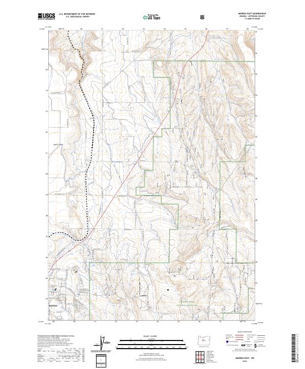
2023 Madras East
Jefferson County, OR
2023 Metolius Bench
Jefferson County, OR
2023 Opal Mountain
Jefferson County, OR
2023 Potters Ponds
Jefferson County, OR
2023 Prairie Farm Spring
Jefferson County, OR
2023 Sandrock Mountain
Jefferson County, OR
2023 Sawmill Butte
Jefferson County, OR
2023 Shitike Butte
Jefferson County, OR
2023 Steelhead Falls
Jefferson County, OR
2023 Willowdale
Jefferson County, OR
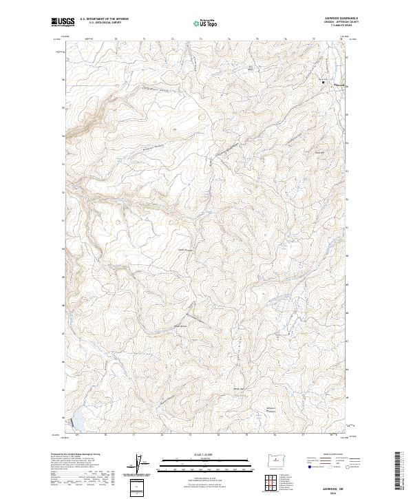
2024 Ashwood
Jefferson County, OR
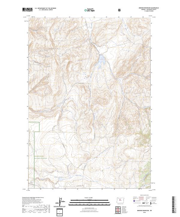
2024 Brewer Reservoir
Jefferson County, OR
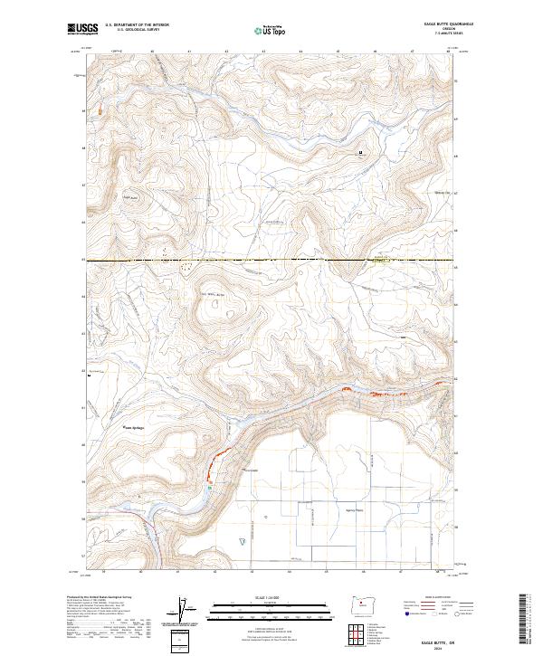
2024 Eagle Butte
Jefferson County, OR
2024 Fly Creek
Jefferson County, OR
2024 Madras West
Jefferson County, OR
2024 Muddy Ranch
Jefferson County, OR
2024 Opal City
Jefferson County, OR
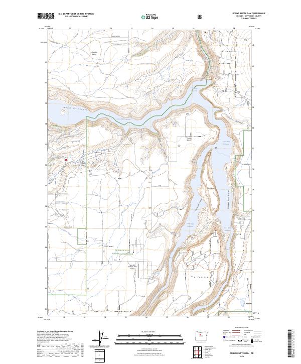
2024 Round Butte Dam
Jefferson County, OR
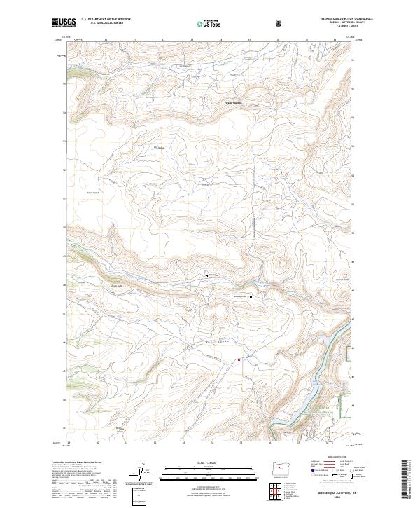
2024 Seekseequa Junction
Jefferson County, OR
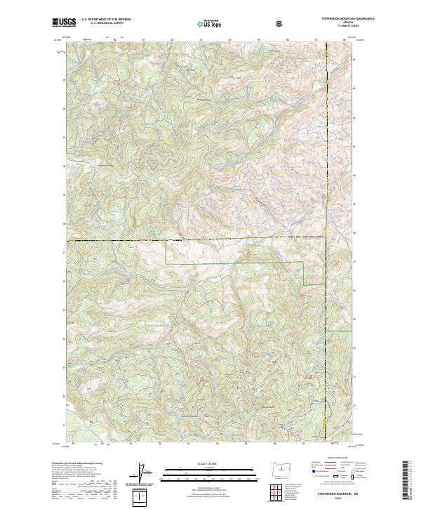
2024 Stephenson Mountain
Jefferson County, OR
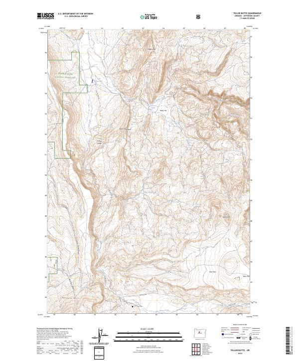
2024 Teller Butte
Jefferson County, OR
2024 Three Fingered Jack
Jefferson County, OR