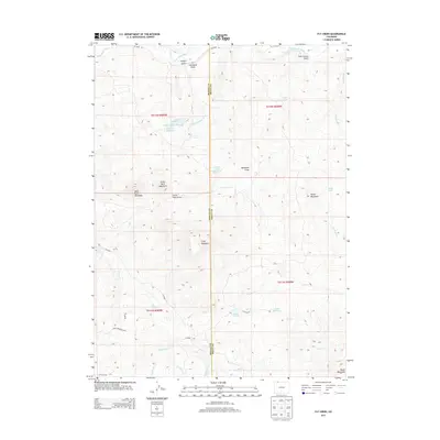
2013 Map of Fly Creek
USGS Topo · Published 2013About this map
The Little Snake River flows across the northern reaches of this high-elevation terrain along the border of Moffat and Routt Counties. The landscape is defined by its drainage basins and isolated peaks, including the curious profiles of Bible Back Mountain and Camel Back Mountain in the western half of the quadrangle. Water management is a central theme of the area's development, evidenced by the Cogdill Lower Reservoir, Larson Reservoir, and the paired Lower Cogdill Lake and Upper Cogdill Lake.
Find a feature on this map
43 named features on this map. Tap any name to fly to it.
Don’t see what you’re looking for? This feature index may not catch every label — zoom into the map to look around manually.
Map Details
Editions of this 2013 Fly Creek Map
This is the sole edition of this map. No revisions or reprints were ever made.
Other maps of this area

1932 · Savery
USGS Topo · 1:96,000

1940 · Savery
USGS Topo · 1:125,000

1954 · Rawlins
USGS Topo · 1:250,000

1954 · Craig
USGS Topo · 1:250,000

1957 · Craig
USGS Topo · 1:250,000

1958 · Rawlins
USGS Topo · 1:250,000

1958 · Craig
USGS Topo · 1:250,000

1960 · Craig
USGS Topo · 1:250,000
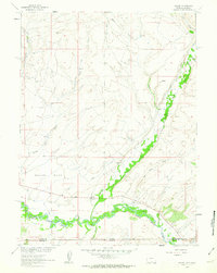
1961 · Savery
USGS Topo · 1:24,000

1961 · Grieve Reservoir
USGS Topo · 1:24,000