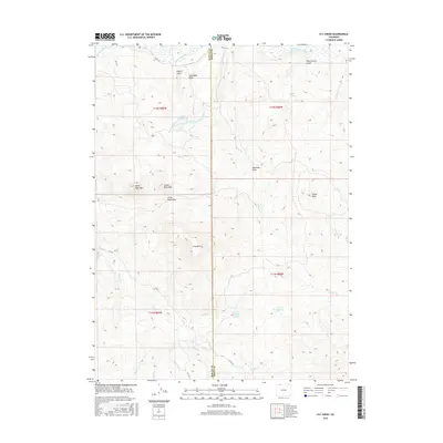
2016 Map of Fly Creek
USGS Topo · Published 2016About this map
The Little Snake River defines the northern reaches of this high-elevation landscape, where the Moffat Co / Routt Co line cuts through a series of prominent peaks and drainage systems. Distinctive summits like Bible Back Mtn, Camel Back Mtn, and Yahoo Mtn rise above the complex network of draws and gulches. The hydrology of the area is particularly varied, featuring upland lakes such as Lower Cogdill Lake and Upper Cogdill Lake, alongside seasonal drainages like Fly Creek and Government Corral Cr. Local infrastructure is concentrated along unpaved routes such as Co RD 129 and Co RD 1, which navigate the terrain between landmarks like Long Mtn and the Larson Reservoir.
Find a feature on this map
36 named features on this map. Tap any name to fly to it.
Don’t see what you’re looking for? This feature index may not catch every label — zoom into the map to look around manually.
Map Details
Editions of this 2016 Fly Creek Map
This is the sole edition of this map. No revisions or reprints were ever made.
Other maps of this area

1932 · Savery
USGS Topo · 1:96,000

1940 · Savery
USGS Topo · 1:125,000

1954 · Rawlins
USGS Topo · 1:250,000

1954 · Craig
USGS Topo · 1:250,000

1957 · Craig
USGS Topo · 1:250,000

1958 · Rawlins
USGS Topo · 1:250,000

1958 · Craig
USGS Topo · 1:250,000

1960 · Craig
USGS Topo · 1:250,000
1961 · Savery
USGS Topo · 1:24,000

1961 · Grieve Reservoir
USGS Topo · 1:24,000