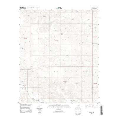
2013 Map of Flying H
USGS Topo · Published 2013About this map
Flying H and the Flying H Ranch Airport anchor this ranching landscape along the Rio Felix in the southern Chaves County uplands. The terrain is defined by a series of pastures and canyons, including Dry Pasture, West Red Pasture, East Red Pasture, and Indian Pasture, which transition into named drainages such as Crooked Canyon and Cherry Canyon. The reliance on groundwater in this arid environment is evident from the numerous named windmills distributed across the township lines, including Scotty Windmill, Gnat Windmill, and Shanks Windmill. The map also captures the path of local corridors like Felix Canyon Rd and Old Schoolhouse Rd, which connect isolated sites like the Red House to the broader region. This 2013 survey reflects a landscape where traditional land management and aviation facilities coexist among the geographic features of Squaw Canyon and Challenge Canyon.
Find a feature on this map
31 named features on this map. Tap any name to fly to it.
Don’t see what you’re looking for? This feature index may not catch every label — zoom into the map to look around manually.
Map Details
Editions of this 2013 Flying H Map
This is the sole edition of this map. No revisions or reprints were ever made.
Other maps of this area

1954 · Carlsbad
USGS Topo · 1:250,000

1955 · Roswell
USGS Topo · 1:250,000

1958 · Carlsbad
USGS Topo · 1:250,000

1958 · Roswell
USGS Topo · 1:250,000

1960 · Teel Ranch
USGS Topo · 1:62,500

1961 · Flying H
USGS Topo · 1:62,500

1961 · Indian Bluff
USGS Topo · 1:62,500

1962 · Roswell
USGS Topo · 1:250,000

1962 · Dunken
USGS Topo · 1:62,500

1978 · Artesia
USGS Topo · 1:100,000