
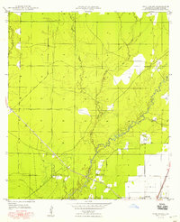
1947 Map of Foley
USGS Topo · Published 1947About this map
Missouri Pacific rail lines and the U. S. Highway No 165 anchor this 1940s landscape in Allen Parish, tracing a corridor of development through a region still heavily defined by its timber history. The network of several Old Logging Railroad Grades crisscrossing the terrain indicates the scale of earlier industrial forestry, even as small settlements like Foley and Canton establish themselves along the modern transport routes.
Find a feature on this map
19 named features on this map. Tap any name to fly to it.
Don’t see what you’re looking for? This feature index may not catch every label — zoom into the map to look around manually.
Map Details
Editions of this 1947 Foley Map
This is the sole edition of this map. No revisions or reprints were ever made.
Other maps of this area

1935 · Beaver
USGS Topo · 1:31,680

1935 · Oakdale
USGS Topo · 1:31,680

1942 · Oakdale
USGS Topo · 1:62,500

1947 · Fruge Lake
USGS Topo · 1:31,680

1947 · Oberlin
USGS Topo · 1:31,680

1947 · Pine Chapel
USGS Topo · 1:31,680

1947 · Bond
USGS Topo · 1:31,680

1947 · Elizabeth
USGS Topo · 1:31,680

1948 · Elizabeth
USGS Topo · 1:24,000
1948 · Pine Chapel
USGS Topo · 1:24,000