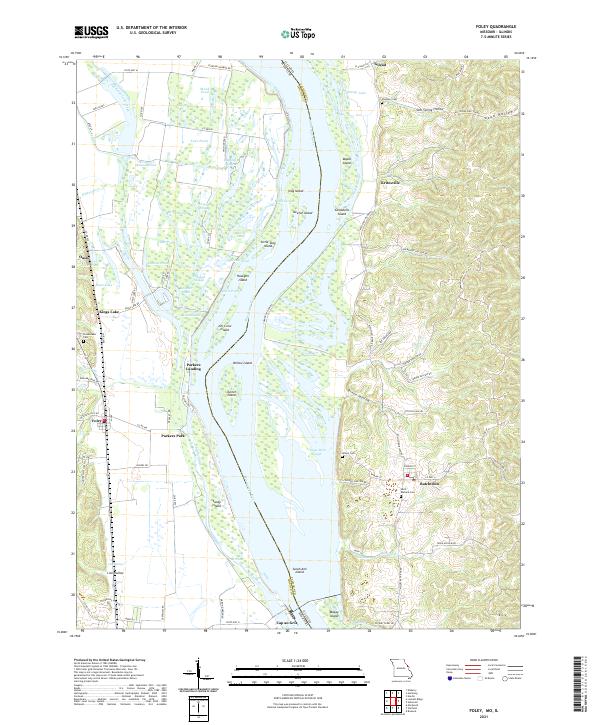
2021 Map of Foley
USGS Topo · Published 2021About this map
Mississippi River floods and silt deposits define the landscape of this riverine corridor, where the waterway forms the boundary between Lincoln County, Missouri, and Calhoun County, Illinois. The expansive floodplain is a complex network of wetlands and islands, including Stag Island, Keeton Island, and Willow Island, interspersed with named backwaters like George Bain Slough and Logging Slough. On the Missouri side, the village of Foley and the community of Kings Lake sit near the edge of the bottoms, while the Illinois shore features settlements like Batchtown and Kritesville positioned among the bluffs and hollows. Genealogists can locate several burial sites throughout the terrain, such as Saint Barbara Cem, Plummer Cem, and Wilson Cem. The intricate pattern of sloughs and chutes, including Sandy Chute, illustrates the dynamic nature of the river as it moves between Cap au Gris and Gilead.
Find a feature on this map
98 named features on this map. Tap any name to fly to it.
Don’t see what you’re looking for? This feature index may not catch every label — zoom into the map to look around manually.
Map Details
Editions of this 2021 Foley Map
This is the sole edition of this map. No revisions or reprints were ever made.
Other maps of this area

1903 · O'Fallon
USGS Topo · 1:125,000

1930 · Hardin
USGS Topo · 1:62,500

1931 · Brussels
USGS Topo · 1:62,500

1934 · Elsberry
USGS Topo · 1:48,000

1934 · Hardin
USGS Topo · 1:62,500

1938 · Hardin
USGS Topo · 1:62,500

1939 · Brussels
USGS Topo · 1:62,500

1941 · Troy
USGS Topo · 1:62,500

1942 · Elsberry
USGS Topo · 1:62,500

1943 · Brussels
USGS Topo · 1:62,500