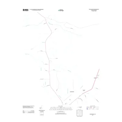
2013 Map of Folkstone
USGS Topo · Published 2013About this map
Folkstone and the surrounding Onslow County wetlands are defined by a complex network of slow-moving water and military history in this 2013 survey. The landscape is dominated by the Purgatory Pocosin, a unique shrub-bog ecosystem characteristic of the Carolina coastal plain, and punctuated by numerous drainage systems including Juniper Swamp and Big Shakey Swamp. The presence of Camp Davis and the Camp Davis Marine Corps Outlying Field reflects the area's strategic importance for military aviation training, with clearings and runways carved out from the surrounding woods. Local roads such as Hines Stump Sound Church Rd and Cemetery Rd provide access to rural homesteads and historic community sites near Kings Cr, illustrating the sparse but enduring residential patterns of this coastal region.
Find a feature on this map
28 named features on this map. Tap any name to fly to it.
Don’t see what you’re looking for? This feature index may not catch every label — zoom into the map to look around manually.
Map Details
Editions of this 2013 Folkstone Map
This is the sole edition of this map. No revisions or reprints were ever made.
Other maps of this area

1942 · Spicer Bay
USGS Topo · 1:62,500

1942 · Topsail
USGS Topo · 1:62,500

1948 · Maple Hill
USGS Topo · 1:62,500

1948 · Topsail
USGS Topo · 1:62,500

1948 · New River
USGS Topo · 1:62,500

1952 · Jacksonville South
USGS Topo · 1:24,000

1952 · Spicer Bay
USGS Topo · 1:24,000

1952 · Sneads Ferry
USGS Topo · 1:24,000

1953 · Beaufort
USGS Topo · 1:250,000

1954 · Beaufort
USGS Topo · 1:250,000