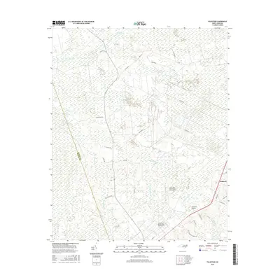
2016 Map of Folkstone
USGS Topo · Published 2016About this map
Great Sandy Run Pocosin and Purgatory Pocosin define the low-lying, wetland-dominated landscape of this region along the Onslow and Pender county line. The settlement of Folkstone serves as a primary point of reference in the southeastern corner, where the transition from dense swamp forests to localized development begins. This mid-2010s survey reveals a landscape where military activity and natural drainage systems coincide, most notably at the Camp Davis Marine Corps Outlying Field.
Find a feature on this map
35 named features on this map. Tap any name to fly to it.
Don’t see what you’re looking for? This feature index may not catch every label — zoom into the map to look around manually.
Map Details
Editions of this 2016 Folkstone Map
This is the sole edition of this map. No revisions or reprints were ever made.
Other maps of this area

1942 · Spicer Bay
USGS Topo · 1:62,500

1942 · Topsail
USGS Topo · 1:62,500

1948 · Maple Hill
USGS Topo · 1:62,500

1948 · Topsail
USGS Topo · 1:62,500

1948 · New River
USGS Topo · 1:62,500

1952 · Jacksonville South
USGS Topo · 1:24,000

1952 · Spicer Bay
USGS Topo · 1:24,000

1952 · Sneads Ferry
USGS Topo · 1:24,000

1953 · Beaufort
USGS Topo · 1:250,000

1954 · Beaufort
USGS Topo · 1:250,000