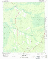
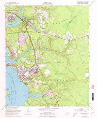
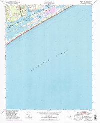
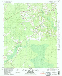
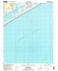
1981 Map of Folkstone
USGS Topo · Published 1981This historical map portrays the area of Folkstone in 1981, primarily covering Onslow County as well as portions of Pender County. Featuring a scale of 1:24000, this map provides a highly detailed snapshot of the terrain, roads, buildings, counties, and historical landmarks in the Folkstone region at the time. Published in 1981, it is one of 2 known editions of this map due to revisions or reprints.
Find a feature on this map
20 named features on this map. Tap any name to fly to it.
Don’t see what you’re looking for? This feature index may not catch every label — zoom into the map to look around manually.
Map Details
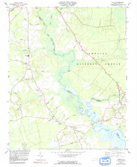
Editions of this 1981 Folkstone Map
2 editions found
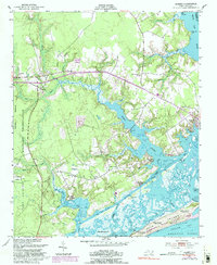
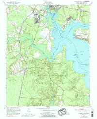
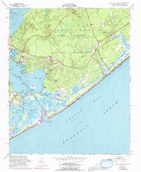
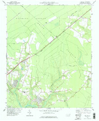
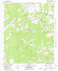
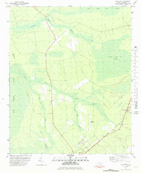
Historical Maps of Folkstone Through Time
28 maps found

1942 Spicer Bay
Onslow County, NC
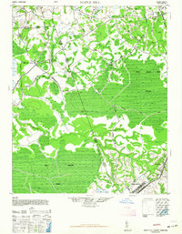
1948 Maple Hill
Onslow County, NC
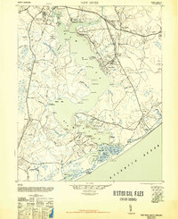
1948 New River
Onslow County, NC
1952 Browns Inlet
Onslow County, NC
1952 Camp Lejeune
Onslow County, NC
1952 Hubert
Onslow County, NC
1952 Jacksonville South
Onslow County, NC
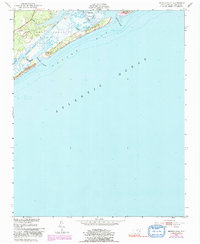
1952 New River Inlet
Onslow County, NC
1952 Spicer Bay
Onslow County, NC

1975 Jacksonville NW
Onslow County, NC
1977 Kellum
Onslow County, NC

1978 Jacksonville North
Onslow County, NC
1980 Catherine Lake
Onslow County, NC

1980 Spicer Bay
Onslow County, NC
1981 Folkstone
Onslow County, NC
1981 Haws Run
Onslow County, NC
1984 Stella
Onslow County, NC

1986 New River
Onslow County, NC

1991 New River
Onslow County, NC

1994 Stella
Onslow County, NC
1997 Browns Inlet
Onslow County, NC

1997 Hubert
Onslow County, NC

1997 Jacksonville North
Onslow County, NC
1997 Jacksonville NW
Onslow County, NC

1997 Jacksonville South
Onslow County, NC

1997 Kellum
Onslow County, NC

1997 New River Inlet
Onslow County, NC
1997 Spicer Bay
Onslow County, NC