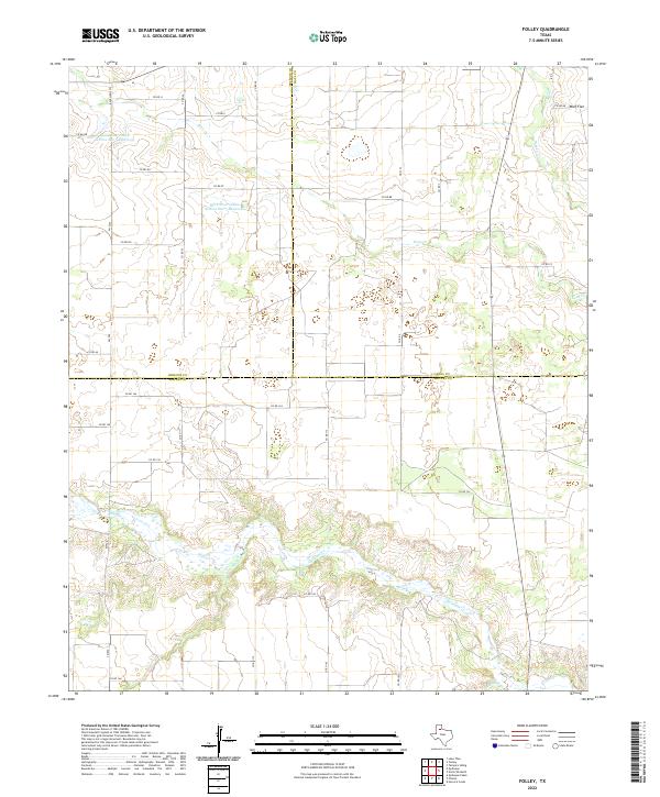
2022 Map of Folley
USGS Topo · Published 2022About this map
Wolf Flat sits at the northern edge of this West Texas landscape, where the High Plains drop into the broken drainage of the Red River watershed. This modern survey illustrates a rugged ranching environment defined by the deep, winding incisions of Quitaque Cr and its tributaries, including Kent Cr and Turkey Cr. The geography is characterized by the complex interface of Briscoe, Hall, and Motley counties, a tri-county junction that has historically been sparsely populated and focused on large-scale land management. Large-scale water management projects, such as the Soil Conservation Service Site 5 Reservoir and Soil Conservation Service Site 7 Reservoir, appear across the northern sections, reflecting mid-century efforts to control erosion and provide reliable water sources for local agriculture in a semi-arid climate.
Find a feature on this map
36 named features on this map. Tap any name to fly to it.
Don’t see what you’re looking for? This feature index may not catch every label — zoom into the map to look around manually.
Map Details
Editions of this 2022 Folley Map
This is the sole edition of this map. No revisions or reprints were ever made.
Other maps of this area

1954 · Plainview
USGS Topo · 1:250,000

1958 · Plainview
USGS Topo · 1:250,000

1967 · Quitaque
USGS Topo · 1:24,000

1967 · North Windmill
USGS Topo · 1:24,000

1967 · Tampico Siding
USGS Topo · 1:24,000

1967 · Quitaque Peaks
USGS Topo · 1:24,000

1967 · Hornica Creek
USGS Topo · 1:24,000

1967 · Flomot
USGS Topo · 1:24,000

1967 · Turkey
USGS Topo · 1:24,000

1967 · Lake Theo
USGS Topo · 1:24,000