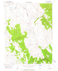
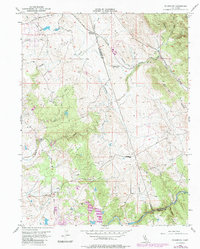
1954 Map of Folsom SE
USGS Topo · Published 1963About this map
The Cosumnes River defines the southern boundary of this transition landscape where Sacramento, El Dorado, and Amador counties meet. In the mid-1950s, the terrain shows a complex history of hydraulic and hard-rock resource extraction, marked by extensive Tailings, several Mines, and a Prospect near Walltown. This industrial legacy is further evidenced by a long Abandoned Ditch and the former site of the Carson Creek Sch (Aban'd), suggesting a rural population that had already begun to shift by the time of the field check.
Find a feature on this map
28 named features on this map. Tap any name to fly to it.
Don’t see what you’re looking for? This feature index may not catch every label — zoom into the map to look around manually.
Map Details
Editions of this 1954 Folsom SE Map
5 editions found
Other maps of this area

1889 · Jackson
USGS Topo · 1:125,000

1891 · Sacramento
USGS Topo · 1:125,000

1891 · Placerville
USGS Topo · 1:125,000

1892 · Jackson
USGS Topo · 1:125,000

1892 · Sacramento
USGS Topo · 1:125,000

1892 · Placerville
USGS Topo · 1:125,000

1893 · Placerville
USGS Topo · 1:125,000

1893 · Sacramento
USGS Topo · 1:125,000

1894 · Lodi
USGS Topo · 1:125,000

1897 · Jackson
USGS Topo · 1:125,000