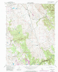
1954 Map of Folsom SE
USGS Topo · Published 1985About this map
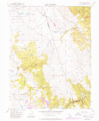
Walltown sits near a network of old Mines and prospects in the western foothills of the Sierra Nevada, reflecting the region's enduring mining heritage. The landscape is defined by the descent toward the Cosumnes River at the southern edge, where the borders of Sacramento, El Dorado, and Amador counties meet. Mid-century ranching and transportation patterns are evident along Latrobe Road and the Southern Pacific railroad line, which cuts through the northern sector at Malby Crossing.
Find a feature on this map
28 named features on this map. Tap any name to fly to it.
Don’t see what you’re looking for? This feature index may not catch every label — zoom into the map to look around manually.
Map Details
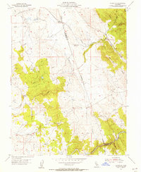
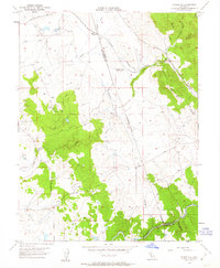
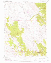
Editions of this 1954 Folsom SE Map
5 editions found
Other maps of this area

1889 · Jackson
USGS Topo · 1:125,000

1891 · Sacramento
USGS Topo · 1:125,000

1891 · Placerville
USGS Topo · 1:125,000

1892 · Jackson
USGS Topo · 1:125,000

1892 · Sacramento
USGS Topo · 1:125,000

1892 · Placerville
USGS Topo · 1:125,000

1893 · Placerville
USGS Topo · 1:125,000

1893 · Sacramento
USGS Topo · 1:125,000

1894 · Lodi
USGS Topo · 1:125,000

1897 · Jackson
USGS Topo · 1:125,000