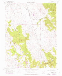
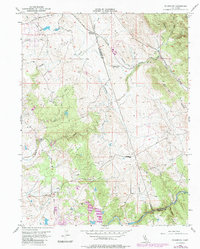
1954 Map of Folsom SE
USGS Topo · Published 1976About this map
Malby Crossing and the settlement of Walltown anchor this mid-century survey of the foothills where Sacramento, El Dorado, and Amador counties meet. The landscape reflects a history of resource extraction, marked by numerous mines and prospects near Walltown, alongside extensive tailings and an Abandoned Ditch that speak to earlier hydraulic or quartz mining operations. The Southern Pacific railroad corridor runs roughly parallel to the Abandoned Ditch, cutting through a terrain defined by the Cosumnes River and the prominent Ben Bolt Ridge.
Find a feature on this map
31 named features on this map. Tap any name to fly to it.
Don’t see what you’re looking for? This feature index may not catch every label — zoom into the map to look around manually.
Map Details
Editions of this 1954 Folsom SE Map
5 editions found
Other maps of this area

1889 · Jackson
USGS Topo · 1:125,000

1891 · Sacramento
USGS Topo · 1:125,000

1891 · Placerville
USGS Topo · 1:125,000

1892 · Jackson
USGS Topo · 1:125,000

1892 · Sacramento
USGS Topo · 1:125,000

1892 · Placerville
USGS Topo · 1:125,000

1893 · Placerville
USGS Topo · 1:125,000

1893 · Sacramento
USGS Topo · 1:125,000

1894 · Lodi
USGS Topo · 1:125,000

1897 · Jackson
USGS Topo · 1:125,000