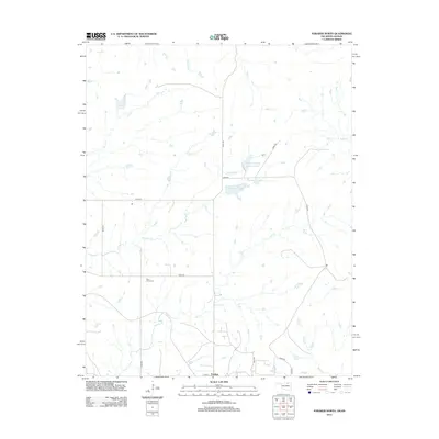
2012 Map of Foraker North
USGS Topo · Published 2012About this map
Foraker sits at the southern edge of this landscape, where the prairie of northern Oklahoma meets the Kansas border. This rural area is defined by an intricate network of waterways, including Salt Cr, Antelope Cr, and Elm Cr, which drain the open ranchlands. The landscape is marked by the presence of Adams Lake and the Adams Ranch Airport Lake, indicating the scale of private landholdings and infrastructure required in this part of Osage County.
Find a feature on this map
25 named features on this map. Tap any name to fly to it.
Don’t see what you’re looking for? This feature index may not catch every label — zoom into the map to look around manually.
Map Details
Editions of this 2012 Foraker North Map
This is the sole edition of this map. No revisions or reprints were ever made.
Other maps of this area

1885 · Sedan
USGS Topo · 1:125,000

1889 · Burden
USGS Topo · 1:125,000

1889 · Sedan
USGS Topo · 1:125,000

1909 · Pawhuska
USGS Topo · 1:125,000

1910 · Pawhuska
USGS Topo · 1:125,000

1916 · Foraker
USGS Topo · 1:62,500

1955 · Wichita
USGS Topo · 1:250,000

1955 · Enid
USGS Topo · 1:250,000

1958 · Enid
USGS Topo · 1:250,000

1958 · Wichita
USGS Topo · 1:250,000