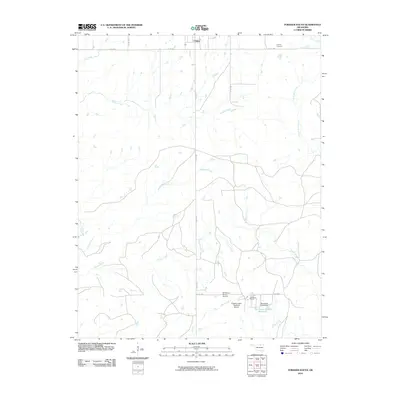
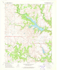
2010 Map of Foraker South
USGS Topo · Published 2010About this map
Foraker and its rural southern reaches are defined by the winding drainages of the Osage Hills, where a network of cattle ranching and private aviation facilities persists. The landscape is carved by numerous waterways including Potato Creek, Wamsley Creek, and Dugout Creek, which flow through the open country. To the south, specialized agricultural operations are evident at the Codding Ranch and the Codding Cattle Research Airport, alongside the McKinney Ranch Airport.
Find a feature on this map
21 named features on this map. Tap any name to fly to it.
Don’t see what you’re looking for? This feature index may not catch every label — zoom into the map to look around manually.
Map Details
Editions of this 2010 Foraker South Map
This is the sole edition of this map. No revisions or reprints were ever made.
Other maps of this area

1909 · Pawhuska
USGS Topo · 1:125,000

1910 · Pawhuska
USGS Topo · 1:125,000

1916 · Foraker
USGS Topo · 1:62,500

1932 · Fairfax
USGS Topo · 1:62,500

1955 · Enid
USGS Topo · 1:250,000

1958 · Enid
USGS Topo · 1:250,000
1964 · Shidler
USGS Topo · 1:24,000
1964 · Grainola
USGS Topo · 1:24,000
1973 · Pearsonia
USGS Topo · 1:24,000
1973 · Bluestem Lake
USGS Topo · 1:24,000