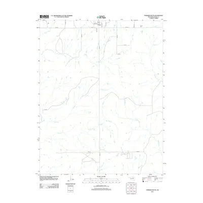
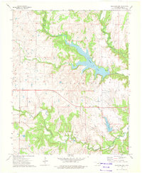
2012 Map of Foraker South
USGS Topo · Published 2012About this map
Foraker sits at the northern edge of this Osage County landscape, a town defined by its grid of streets including Broadway, Main St, and Decatur Ave. Just to the northeast, the Foraker Cem provides a point of interest for genealogists and local historians tracking early residents of this prairie region. The surrounding terrain is heavily dissected by an intricate network of waterways, with Wamsley Cr and Potato Cr carving paths through the central and southern sections. These drainage patterns, including branches of Middle Bird Cr and N Bird Cr, illustrate the hydrology of the tallgrass country. The map traces the rural road system, from established routes like E0180 Rd to the more remote sections near Rock Cr, showing the distribution of modern homesteads and the enduring layout of the land in the early 21st century.
Find a feature on this map
26 named features on this map. Tap any name to fly to it.
Don’t see what you’re looking for? This feature index may not catch every label — zoom into the map to look around manually.
Map Details
Editions of this 2012 Foraker South Map
This is the sole edition of this map. No revisions or reprints were ever made.
Other maps of this area

1909 · Pawhuska
USGS Topo · 1:125,000

1910 · Pawhuska
USGS Topo · 1:125,000

1916 · Foraker
USGS Topo · 1:62,500

1932 · Fairfax
USGS Topo · 1:62,500

1955 · Enid
USGS Topo · 1:250,000

1958 · Enid
USGS Topo · 1:250,000
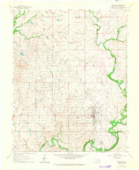
1964 · Shidler
USGS Topo · 1:24,000
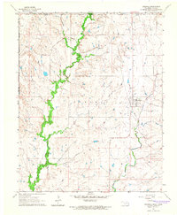
1964 · Grainola
USGS Topo · 1:24,000
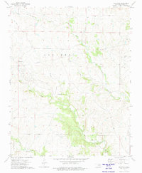
1973 · Pearsonia
USGS Topo · 1:24,000
1973 · Bluestem Lake
USGS Topo · 1:24,000