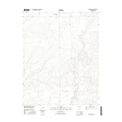
2016 Map of Foraker South
USGS Topo · Published 2016About this map
Foraker sits at the northern edge of this high-plains landscape, situated along Midland Ave in the tallgrass prairie region of Osage County. This 2016 survey shows the town's grid and its relationship to the surrounding drainage networks that define the local topography. To the northeast lies the Foraker Cem, a vital site for family historians and genealogists researching the residents of this ranching community.
Find a feature on this map
18 named features on this map. Tap any name to fly to it.
Don’t see what you’re looking for? This feature index may not catch every label — zoom into the map to look around manually.
Map Details
Editions of this 2016 Foraker South Map
This is the sole edition of this map. No revisions or reprints were ever made.
Other maps of this area

1909 · Pawhuska
USGS Topo · 1:125,000

1910 · Pawhuska
USGS Topo · 1:125,000

1916 · Foraker
USGS Topo · 1:62,500

1932 · Fairfax
USGS Topo · 1:62,500

1955 · Enid
USGS Topo · 1:250,000

1958 · Enid
USGS Topo · 1:250,000
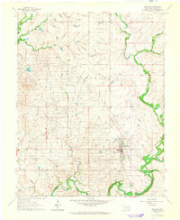
1964 · Shidler
USGS Topo · 1:24,000
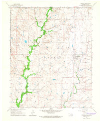
1964 · Grainola
USGS Topo · 1:24,000
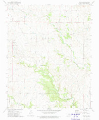
1973 · Pearsonia
USGS Topo · 1:24,000
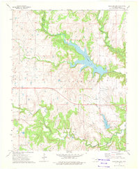
1973 · Bluestem Lake
USGS Topo · 1:24,000