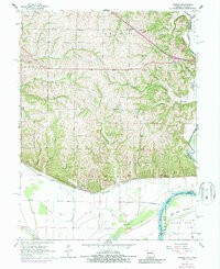
1961 Map of Forbes
USGS Topo · Published 1986About this map
The Missouri River and its floodplain dominate the southern landscape of this Missouri-Kansas border region, where the broad Burr Oak Bottom transitions into the dissected uplands of Holt and Andrew counties. The village of Forbes serves as a focal point along the Burlington Northern railroad, which skirts the base of the bluffs. This era shows a well-established rural social infrastructure, with family and community life centered around places like Woodville Ch, Monarch Sch, and Highland Sch.
Find a feature on this map
35 named features on this map. Tap any name to fly to it.
Don’t see what you’re looking for? This feature index may not catch every label — zoom into the map to look around manually.
Map Details
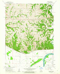
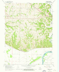
Editions of this 1961 Forbes Map
3 editions found
Other maps of this area

1885 · Atchison
USGS Topo · 1:125,000

1888 · Atchison
USGS Topo · 1:125,000

1893 · Atchison
USGS Topo · 1:125,000

1924 · St. Joseph
USGS Topo · 1:62,500

1926 · Saint Joseph
USGS Topo · 1:62,500

1926 · Oregon
USGS Topo · 1:62,500

1926 · Maitland
USGS Topo · 1:62,500

1927 · Bolckow
USGS Topo · 1:62,500

1945 · Bolckow
USGS Topo · 1:62,500

1950 · Kansas City
USGS Topo · 1:250,000