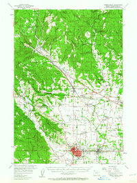
1956 Map of Forest Grove
USGS Topo · Published 1964About this map
Forest Grove serves as the focal point of this mid-1950s survey, showing the town and neighboring Cornelius as the region's primary hubs. The landscape is defined by the intersection of rail and road, where the Southern Pacific RR and Oregon Electric RR converge with the Sunset Highway. The area’s educational and religious infrastructure is well-documented, from the Union High Sch in the south to rural outposts like Meacham School and the Arcade Standard Sch.
Find a feature on this map
128 named features on this map. Tap any name to fly to it.
Don’t see what you’re looking for? This feature index may not catch every label — zoom into the map to look around manually.
Map Details
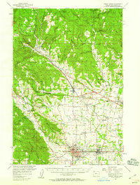
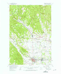
Editions of this 1956 Forest Grove Map
3 editions found
Other maps of this area

1915 · Hillsboro
USGS Topo · 1:62,500

1916 · Tualatin
USGS Topo · 1:62,500

1918 · Hillsboro
USGS Topo · 1:62,500

1922 · St. Helens
USGS Topo · 1:62,500

1939 · Tualatin
USGS Topo · 1:62,500

1940 · Tualatin
USGS Topo · 1:62,500

1940 · Hillsboro
USGS Topo · 1:62,500

1940 · Vernonia
USGS Topo · 1:62,500

1941 · Keasey
USGS Topo · 1:62,500

1941 · St Helens
USGS Topo · 1:62,500