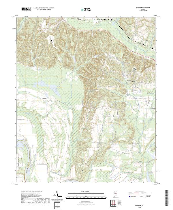
2024 Map of Forester
USGS Topo · Published 2024About this map
Prattville serves as the focal point of this Autauga County landscape, where the residential outskirts and aviation facilities at Prattville/Grouby Field give way to a dense network of swampy bottoms and creek branches. The terrain is defined by substantial wetlands such as Bear Swamp, Bear Creek Swamp, and Savanna Swamp, which dictate the placement of smaller settlements like Forester and Wadsworth. Family and community history is preserved across several rural burying grounds, including the DeJarnett Cem and Indian Hill Cem, often situated on the higher ridges overlooking the drainage of Autauga Creek and Noland Creek. The southwestern portion of the sheet is dominated by the large expanse of the R E 'Bob' Woodruff Reservoir, illustrating the significance of water management and hydroelectric geography in the Alabama river system.
Find a feature on this map
94 named features on this map. Tap any name to fly to it.
Don’t see what you’re looking for? This feature index may not catch every label — zoom into the map to look around manually.
Map Details
Editions of this 2024 Forester Map
This is the sole edition of this map. No revisions or reprints were ever made.
Other maps of this area

1891 · Clanton
USGS Topo · 1:125,000

1901 · Wetumpka
USGS Topo · 1:125,000

1903 · Wetumpka
USGS Topo · 1:125,000

1927 · Montgomery
USGS Topo · 1:48,000

1930 · Montgomery
USGS Topo · 1:62,500

1953 · Montgomery
USGS Topo · 1:250,000

1956 · Montgomery
USGS Topo · 1:250,000

1957 · Montgomery
USGS Topo · 1:250,000

1957 · Autaugaville
USGS Topo · 1:62,500

1958 · Montgomery
USGS Topo · 1:62,500