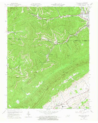
1959 Map of Fork Ridge
USGS Topo · Published 1973About this map
Cumberland Mountain and the Log Mountains dominate this 1959 topographic survey, revealing a landscape defined by deep-vein and surface mining at the Kentucky-Tennessee border. Industrial activity is concentrated along the narrow valleys, where the Louisville and Nashville and Southern railroads serve mining communities like Capito, Fork Ridge, and Manring. The numerous strip mines and tipples etched into the hillsides alongside Mingo Hollow and Cabin Hollow illustrate the intensive coal extraction of the era.
Find a feature on this map
80 named features on this map. Tap any name to fly to it.
Don’t see what you’re looking for? This feature index may not catch every label — zoom into the map to look around manually.
Map Details
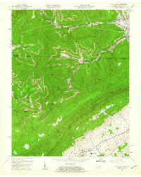
Editions of this 1959 Fork Ridge Map
2 editions found
Other maps of this area

1886 · Cumberland Gap
USGS Topo · 1:125,000

1888 · Cumberland Gap
USGS Topo · 1:125,000

1891 · Cumberland Gap
USGS Topo · 1:125,000

1897 · Maynardville
USGS Topo · 1:125,000

1900 · Maynardville
USGS Topo · 1:125,000

1903 · Middlesboro
USGS Topo · 1:48,000

1927 · Middlesboro
USGS Topo · 1:62,500

1930 · Middlesboro
USGS Topo · 1:62,500

1935 · Mingo Mountains
USGS Topo · 1:24,000

1935 · Cumberland Gap
USGS Topo · 1:24,000