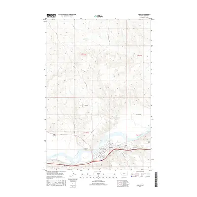
2017 Map of Forsyth
USGS Topo · Published 2017About this map
Forsyth serves as the focal point of this 2017 survey, situated along a prominent bend of the Yellowstone River. The town's grid is well-defined, featuring streets like Main St, Front St, and Rosebud St, which parallel the river and the historical transportation corridor of Old US Hwy 10. To the east, the aviation site of Tillitt Field and the Forsyth Cem mark the outskirts of the community. Beyond the town limits, the landscape transitions into the river bottomlands of Hammond Valley and the northern uplands dissected by drainage systems such as Dry Cr and Little Porcupine Creek Rd. The map illustrates a contemporary rural Montana infrastructure where modern access like Valley View Ln meets established routes like Slaughterhouse Rd, providing a clear view of the settlement patterns that have persisted since the early days of the Yellowstone valley's development.
Find a feature on this map
35 named features on this map. Tap any name to fly to it.
Don’t see what you’re looking for? This feature index may not catch every label — zoom into the map to look around manually.
Map Details
Editions of this 2017 Forsyth Map
This is the sole edition of this map. No revisions or reprints were ever made.
Other maps of this area

1954 · Forsyth
USGS Topo · 1:250,000

1957 · Forsyth
USGS Topo · 1:250,000

1958 · Forsyth
USGS Topo · 1:250,000

1968 · Orinoco
USGS Topo · 1:24,000

1968 · Nichols
USGS Topo · 1:24,000

1968 · Forsyth
USGS Topo · 1:24,000

1968 · Schultz Coulee
USGS Topo · 1:24,000

1968 · Finch NE
USGS Topo · 1:24,000

1968 · Black Coulee
USGS Topo · 1:24,000

1971 · Griffin Coulee NE
USGS Topo · 1:24,000