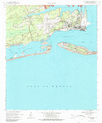
1970 Map of Fort Barrancas
USGS Topo · Published 1986About this map
The Pensacola Naval Air Station dominates this coastal landscape at the entrance to Pensacola Bay. The map documents a significant intersection of modern aviation and coastal defense history, featuring Forrest Sherman Field and Chevalier Field alongside the weathered remains of earlier centuries. The complex shoreline includes the narrow Perdido Key and Santa Rosa Island, which guard the waters of Big Lagoon and Bayou Grande.
Find a feature on this map
40 named features on this map. Tap any name to fly to it.
Don’t see what you’re looking for? This feature index may not catch every label — zoom into the map to look around manually.
Map Details
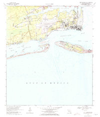
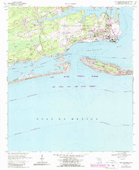
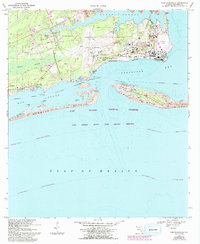
Editions of this 1970 Fort Barrancas Map
4 editions found
Other maps of this area

1921 · Pensacola
USGS Topo · 1:62,500

1921 · Fort Barrancas
USGS Topo · 1:62,500

1941 · Fort Barrancas
USGS Topo · 1:62,500

1941 · Pensacola
USGS Topo · 1:62,500

1942 · Pensacola
USGS Topo · 1:62,500

1943 · Fort Barrancas
USGS Topo · 1:62,500

1944 · Perdido Bay North
USGS Topo · 1:25,000

1944 · West Pensacola
USGS Topo · 1:25,000

1944 · Perdido Bay South
USGS Topo · 1:25,000

1944 · Gulf Breeze
USGS Topo · 1:25,000