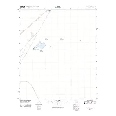
2010 Map of Fort Bliss NE
USGS Topo · Published 2010About this map
Newman sits at the northern edge of this West Texas landscape, marking a point of transition near the state line. The area is defined by essential infrastructure for the growing El Paso region, including a series of large-scale water management features such as Northeast Oxidation Pond Number 1 Dam, Number 2 Dam, and Number 3 Dam. These facilities illustrate the industrial footprint necessary to support a modern desert settlement. Transportation and communication are central themes here, evidenced by the primary corridor of Dyer St and the specialized Newman Radio Beacon. The network of roads, including Stan Roberts Sr Ave and Purple Heart Blvd, suggests the planned expansion and military significance associated with the proximity to Fort Bliss.
Find a feature on this map
10 named features on this map. Tap any name to fly to it.
Don’t see what you’re looking for? This feature index may not catch every label — zoom into the map to look around manually.
Map Details
Editions of this 2010 Fort Bliss NE Map
This is the sole edition of this map. No revisions or reprints were ever made.
Other maps of this area

1896 · El Paso
USGS Topo · 1:125,000

1908 · El Paso
USGS Topo · 1:125,000

1939 · Heuco Tanks
USGS Topo · 1:62,500

1940 · Heuco Tanks
USGS Topo · 1:62,500

1940 · Newman
USGS Topo · 1:62,500

1941 · El Paso
USGS Topo · 1:31,680

1941 · Desert
USGS Topo · 1:62,500

1942 · Fort Bliss
USGS Topo · 1:62,500

1943 · Desert
USGS Topo · 1:62,500

1943 · Newman
USGS Topo · 1:62,500