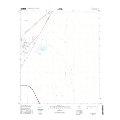
2016 Map of Fort Bliss NE
USGS Topo · Published 2016About this map
The high desert landscape north of El Paso is defined by the converging transit corridors of the Patriot Fwy and Dyer St, which slice through the arid terrain toward the community of Newman. This 2016 survey illustrates the expansion of suburban street grids into the desert, particularly evident in the residential developments along Mesquite Hill Dr and Lynn Field Rd. A prominent industrial or municipal component of the landscape is found in the large water management facilities known as Northeast Oxidation Pond Number 1 and Northeast Oxidation Pond Number 2. These features, alongside the strictly linear path of Railroad Dr and Pipeline Rd, demonstrate how modern infrastructure organizes the open spaces of the Far West Texas borderlands.
Find a feature on this map
18 named features on this map. Tap any name to fly to it.
Don’t see what you’re looking for? This feature index may not catch every label — zoom into the map to look around manually.
Map Details
Editions of this 2016 Fort Bliss NE Map
This is the sole edition of this map. No revisions or reprints were ever made.
Other maps of this area

1896 · El Paso
USGS Topo · 1:125,000

1908 · El Paso
USGS Topo · 1:125,000

1939 · Heuco Tanks
USGS Topo · 1:62,500

1940 · Heuco Tanks
USGS Topo · 1:62,500

1940 · Newman
USGS Topo · 1:62,500

1941 · El Paso
USGS Topo · 1:31,680

1941 · Desert
USGS Topo · 1:62,500

1942 · Fort Bliss
USGS Topo · 1:62,500

1943 · Desert
USGS Topo · 1:62,500

1943 · Newman
USGS Topo · 1:62,500