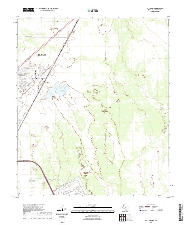
2022 Map of Fort Bliss NE
USGS Topo · Published 2022About this map
The northeastern desert landscape of El Paso is captured here during a period of expanding infrastructure and military-related development. The map shows the transition from the city's suburban edge to the open terrain of the Hueco Bolson. Major transportation arteries like the Patriot Fwy and Dyer St provide the framework for recent growth, including residential pockets along Bold Eagle Rd and Mesquite Hill Dr.
Find a feature on this map
26 named features on this map. Tap any name to fly to it.
Don’t see what you’re looking for? This feature index may not catch every label — zoom into the map to look around manually.
Map Details
Editions of this 2022 Fort Bliss NE Map
This is the sole edition of this map. No revisions or reprints were ever made.
Other maps of this area

1896 · El Paso
USGS Topo · 1:125,000

1908 · El Paso
USGS Topo · 1:125,000

1939 · Heuco Tanks
USGS Topo · 1:62,500

1940 · Heuco Tanks
USGS Topo · 1:62,500

1940 · Newman
USGS Topo · 1:62,500

1941 · El Paso
USGS Topo · 1:31,680

1941 · Desert
USGS Topo · 1:62,500

1942 · Fort Bliss
USGS Topo · 1:62,500

1943 · Desert
USGS Topo · 1:62,500

1943 · Newman
USGS Topo · 1:62,500