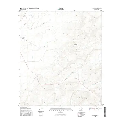
2016 Map of Fort Davis SE
USGS Topo · Published 2016About this map
Fort Davis anchors the western edge of this West Texas landscape, where the town's grid meets the southeastern slopes of the Davis Mountains. The high desert terrain is defined by a series of deep drainage networks, most notably Limpia Canyon and Musquiz Canyon, which guide the seasonal flow of Limpia Cr and Musquiz Cr. These watercourses have historically dictated movement through the Trans-Pecos, a pattern reflected in the modern road network.
Find a feature on this map
19 named features on this map. Tap any name to fly to it.
Don’t see what you’re looking for? This feature index may not catch every label — zoom into the map to look around manually.
Map Details
Editions of this 2016 Fort Davis SE Map
This is the sole edition of this map. No revisions or reprints were ever made.
Other maps of this area

1894 · Fort Davis
USGS Topo · 1:125,000

1895 · Alpine
USGS Topo · 1:125,000

1897 · Fort Davis
USGS Topo · 1:125,000

1954 · Fort Stockton
USGS Topo · 1:250,000

1958 · Fort Stockton
USGS Topo · 1:250,000

1972 · Casket Mountain
USGS Topo · 1:24,000

1972 · Swayback Mountain
USGS Topo · 1:24,000
1972 · Fort Davis SE
USGS Topo · 1:24,000

1972 · Alpine North
USGS Topo · 1:24,000
1972 · Fort Davis
USGS Topo · 1:24,000