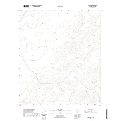
2019 Map of Fort Davis SE
USGS Topo · Published 2019About this map
Hillcrest Cem sits on the western plains of Jeff Davis County, marking the transition between the rolling high desert and the dramatic peaks of the Davis Mountains. This 2019 survey documents a landscape defined by its ephemeral waterways and deep canyons, most notably where Musquiz Canyon carves through the southern terrain alongside the path of Musquiz Cr. To the northeast, the prominent landform of Arkansas Mesa overlooks the drainage of Horse Thief Cr, a name that hints at the storied ranching and frontier history of the Big Bend region.
Find a feature on this map
17 named features on this map. Tap any name to fly to it.
Don’t see what you’re looking for? This feature index may not catch every label — zoom into the map to look around manually.
Map Details
Editions of this 2019 Fort Davis SE Map
This is the sole edition of this map. No revisions or reprints were ever made.
Other maps of this area

1894 · Fort Davis
USGS Topo · 1:125,000

1895 · Alpine
USGS Topo · 1:125,000

1897 · Fort Davis
USGS Topo · 1:125,000

1954 · Fort Stockton
USGS Topo · 1:250,000

1958 · Fort Stockton
USGS Topo · 1:250,000

1972 · Casket Mountain
USGS Topo · 1:24,000

1972 · Swayback Mountain
USGS Topo · 1:24,000
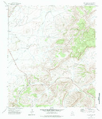
1972 · Fort Davis SE
USGS Topo · 1:24,000

1972 · Alpine North
USGS Topo · 1:24,000
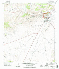
1972 · Fort Davis
USGS Topo · 1:24,000