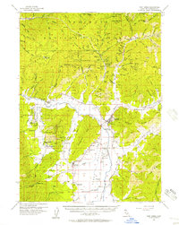
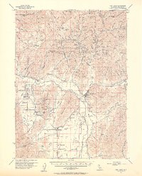
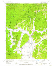
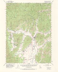
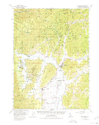
1955 Map of Fort Jones
USGS Topo · Published 1957About this map
The Scott River valley and its surrounding mining districts define this mid-century topographic record of Northern California. Fort Jones serves as the primary hub, surrounded by a complex network of 19th-century gold extraction sites including Oro Fino, the Golden Eagle Mine, and the Star Mine along the eastern slopes of Quartz Hill. The map documents the cultural landscape of the era, from the Quartz Valley Rancheria and Charity Mission to local educational landmarks like Meamber School and Quartz Valley Sch. Agricultural and ranching interests are evident in the valley floor near Greenview and Cheeseville, while the more rugged terrain of the Klamath National Forest is dotted with legacy sites such as Baker Cabin and Hooperville. These features reveal a region transitioning from its pioneer mining origins toward a modernizing rural economy, supported by the Scott Valley Airport and the Radio Range Sta.
Find a feature on this map
126 named features on this map. Tap any name to fly to it.
Don’t see what you’re looking for? This feature index may not catch every label — zoom into the map to look around manually.
Map Details
Editions of this 1955 Fort Jones Map
5 editions found
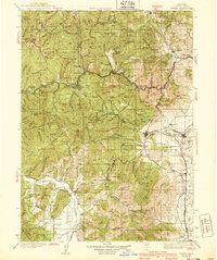
Other maps of this area

1886 · Shasta
USGS Topo · 1:250,000

1894 · Shasta
USGS Topo · 1:250,000

1914 · Seiad
USGS Topo · 1:125,000

1922 · Seiad
USGS Topo · 1:125,000

1923 · Sawyers Bar
USGS Topo · 1:125,000

1931 · Etna
USGS Topo · 1:96,000

1932 · Yreka
USGS Topo · 1:96,000

1934 · Etna
USGS Topo · 1:125,000
1939 · Yreka
USGS Topo · 1:125,000

1948 · Weed
USGS Topo · 1:250,000