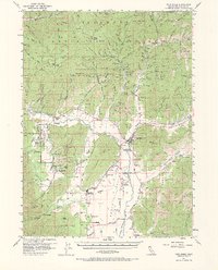
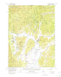
1955 Map of Fort Jones
USGS Topo · Published 1970About this map
The Scott River valley serves as the central corridor for this mid-century survey, anchoring a landscape where agriculture and mining intersect. The town of Fort Jones is the primary hub, marked by a Water Tank and the Fort Jones Historic Marker. Nearby settlements like Greenview, Cheeseville, and Mugginsville suggest a tight-knit community of dairies and small-scale farms supported by a complex network of irrigation ditches and lanes such as Patent Lane and Serpa Lane.
Find a feature on this map
103 named features on this map. Tap any name to fly to it.
Don’t see what you’re looking for? This feature index may not catch every label — zoom into the map to look around manually.
Map Details
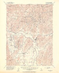
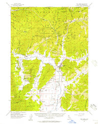
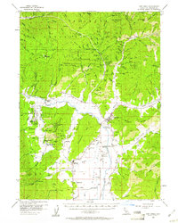
Editions of this 1955 Fort Jones Map
5 editions found
Other maps of this area

1886 · Shasta
USGS Topo · 1:250,000

1894 · Shasta
USGS Topo · 1:250,000

1914 · Seiad
USGS Topo · 1:125,000

1922 · Seiad
USGS Topo · 1:125,000

1923 · Sawyers Bar
USGS Topo · 1:125,000

1931 · Etna
USGS Topo · 1:96,000

1932 · Yreka
USGS Topo · 1:96,000

1934 · Etna
USGS Topo · 1:125,000
1939 · Yreka
USGS Topo · 1:125,000

1948 · Weed
USGS Topo · 1:250,000