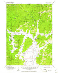
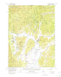
1955 Map of Fort Jones
USGS Topo · Published 1961About this map
Fort Jones and the surrounding Scott Valley serve as the heart of this 1950s survey of Northern California. The landscape transitions from the agricultural valley floor, where small communities like Greenview and the interestingly named Cheeseville are established, into the dense timber and mining claims of the Klamath National Forest. The geography reveals a legacy of gold extraction, with numerous named mines such as the Golden Eagle Mine, Star Mine, and Oro Fino dotting the ridges of Chaparral Hill and the Mineral Range.
Find a feature on this map
127 named features on this map. Tap any name to fly to it.
Don’t see what you’re looking for? This feature index may not catch every label — zoom into the map to look around manually.
Map Details
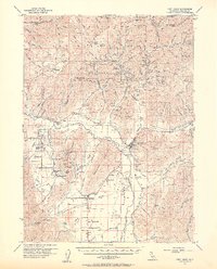
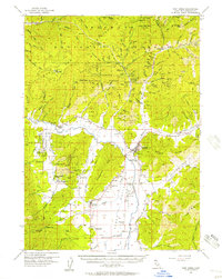
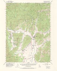
Editions of this 1955 Fort Jones Map
5 editions found
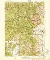
Other maps of this area

1886 · Shasta
USGS Topo · 1:250,000

1894 · Shasta
USGS Topo · 1:250,000

1914 · Seiad
USGS Topo · 1:125,000

1922 · Seiad
USGS Topo · 1:125,000

1923 · Sawyers Bar
USGS Topo · 1:125,000

1931 · Etna
USGS Topo · 1:96,000

1932 · Yreka
USGS Topo · 1:96,000

1934 · Etna
USGS Topo · 1:125,000
1939 · Yreka
USGS Topo · 1:125,000

1948 · Weed
USGS Topo · 1:250,000