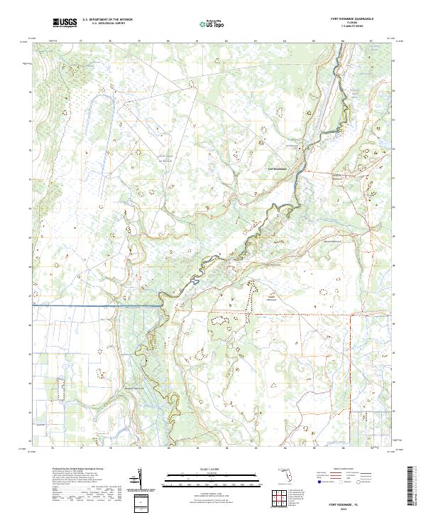
2024 Map of Fort Kissimmee
USGS Topo · Published 2024About this map
Fort Kissimmee and its surrounding marshlands are preserved in this contemporary survey, illustrating the complex hydrology of the Kissimmee River basin. The landscape is defined by its hammocks—elevated clusters of hardwood trees that rise above the wetlands—including McGuire Hammock, Woods Hammock, and Mosquito Hammock. This modern data reflects the boundaries between Highlands and Okeechobee counties, highlighting how the winding river channel historically dictated local borders.
Find a feature on this map
24 named features on this map. Tap any name to fly to it.
Don’t see what you’re looking for? This feature index may not catch every label — zoom into the map to look around manually.
Map Details
Editions of this 2024 Fort Kissimmee Map
This is the sole edition of this map. No revisions or reprints were ever made.
Other maps of this area

1952 · Fort Kissimmee
USGS Topo · 1:24,000

1952 · Fort Kissimmee NW
USGS Topo · 1:24,000

1952 · Lake Arbuckle NE
USGS Topo · 1:24,000

1952 · Lake Arbuckle SE
USGS Topo · 1:24,000

1952 · Lorida
USGS Topo · 1:24,000

1953 · Basinger
USGS Topo · 1:24,000

1953 · Fort Kissimmee NE
USGS Topo · 1:24,000

1953 · Basinger NW
USGS Topo · 1:24,000

1953 · Fort Kissimmee SE
USGS Topo · 1:24,000

1956 · Fort Pierce
USGS Topo · 1:250,000